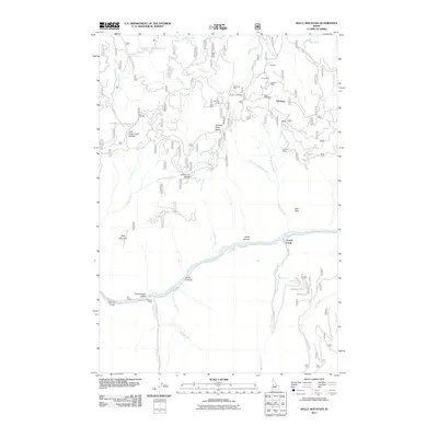
2011 Map of Kelly Mountain
USGS Topo · Published 2011About this map
The gold mining history of Idaho County is etched into the landscape surrounding Seaburg, where numerous named lode and placer claims follow the drainage of Robbins Creek and its tributaries. This 2011 survey details a network of historic mine sites, including the Black Bear Mine, Mother Lode Mine, and the Poorman Mine, many of which date back to the region's early prospecting rushes. The terrain is marked by high-altitude features like Looking Glass Butte and Kelly Mountain, with deep incisions from the Salmon River and French Creek. Travel through this remote backcountry relies on Forest Service routes such as Natl Forest Develop Road 207 RD and the historic Florence Rd. Along the river, localized landmarks like Manring Bridge and the Howard Ranch provide evidence of early 20th-century habitation and infrastructure in a wilderness area shaped by both the mining industry and the formidable river canyon topography.
Find a feature on this map
50 named features on this map. Tap any name to fly to it.
Don’t see what you’re looking for? This feature index may not catch every label — zoom into the map to look around manually.
Map Details
Editions of this 2011 Kelly Mountain Map
This is the sole edition of this map. No revisions or reprints were ever made.
Other maps of this area

1931 · Buffalo Hump
USGS Topo · 1:125,000

1934 · Buffalo Hump
USGS Topo · 1:125,000

1938 · Riggins
USGS Topo · 1:96,000

1945 · Riggins
USGS Topo · 1:125,000

1955 · Grangeville
USGS Topo · 1:250,000

1956 · Burgdorf
USGS Topo · 1:62,500

1956 · Elk City
USGS Topo · 1:250,000

1959 · Grangeville
USGS Topo · 1:250,000

1960 · Elk City
USGS Topo · 1:250,000

1963 · John Day Mtn
USGS Topo · 1:24,000