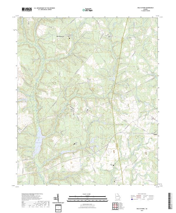
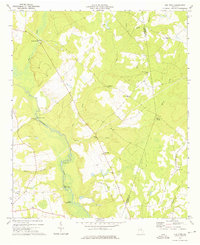
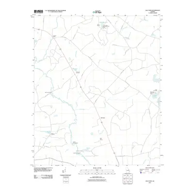
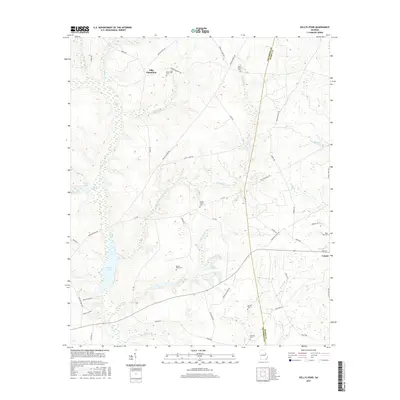
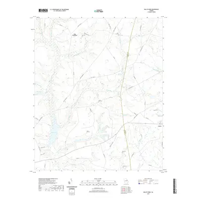
2024 Map of Kellys Pond
USGS Topo · Published 2024About this map
Ellis Plantation and the small town of Vidette anchor this landscape along the border of Jefferson and Burke counties. The terrain is defined by a dense network of tributaries including Big Creek, Schaffer Creek, and Hannah Branch, which feed into local impoundments such as Kellys Pond and Greener Mill Pond. This area retains a strong rural and agricultural character, evidenced by the numerous family-named landmarks and small burial grounds that dot the countryside.
Find a feature on this map
60 named features on this map. Tap any name to fly to it.
Don’t see what you’re looking for? This feature index may not catch every label — zoom into the map to look around manually.
Map Details
Editions of this 2024 Kellys Pond Map
This is the sole edition of this map. No revisions or reprints were ever made.
Historical Maps of Vidette Through Time
24 maps found
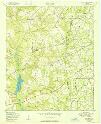
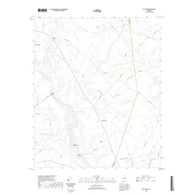
1950 Kellys Pond
Jefferson County, GA
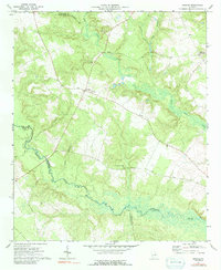
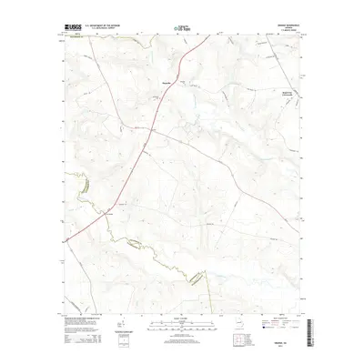
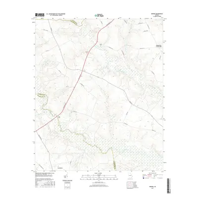
1972 Grange
Jefferson County, GA
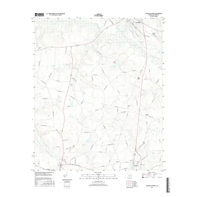
1973 Louisville South
Jefferson County, GA
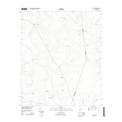
1973 Old Town
Jefferson County, GA
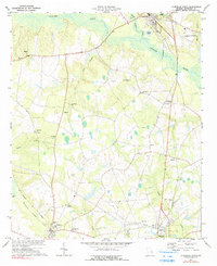
2011 Grange
Jefferson County, GA
2011 Kellys Pond
Jefferson County, GA
2011 Louisville South
Jefferson County, GA
2011 Old Town
Jefferson County, GA
2014 Grange
Jefferson County, GA
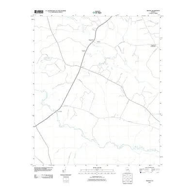
2014 Kellys Pond
Jefferson County, GA
2014 Louisville South
Jefferson County, GA
2014 Old Town
Jefferson County, GA
2017 Grange
Jefferson County, GA
2017 Kellys Pond
Jefferson County, GA
2017 Louisville South
Jefferson County, GA
2017 Old Town
Jefferson County, GA
2020 Grange
Jefferson County, GA
2020 Kellys Pond
Jefferson County, GA
2020 Louisville South
Jefferson County, GA
2020 Old Town
Jefferson County, GA
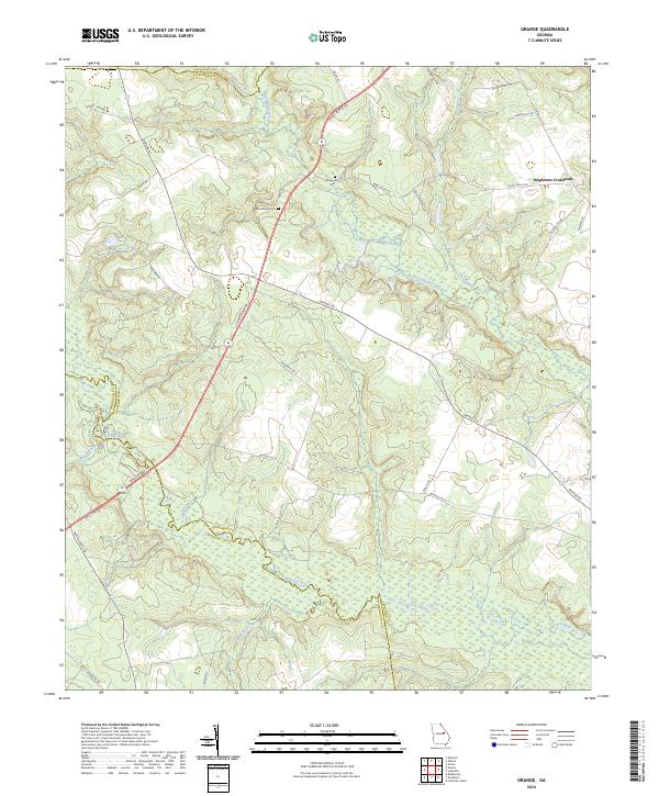
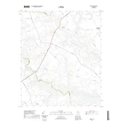
2024 Grange
Jefferson County, GA
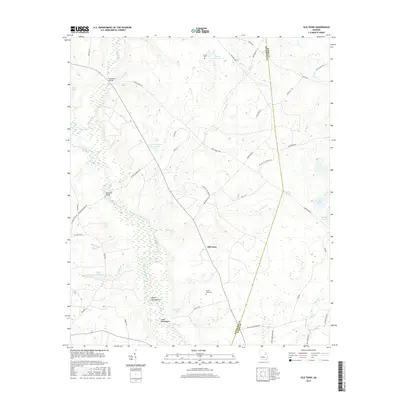
2024 Kellys Pond
Jefferson County, GA
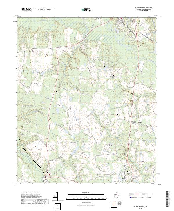
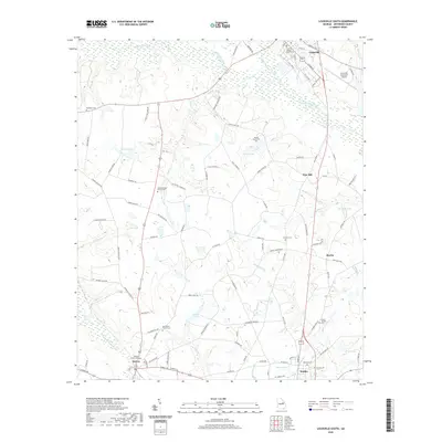
2024 Louisville South
Jefferson County, GA
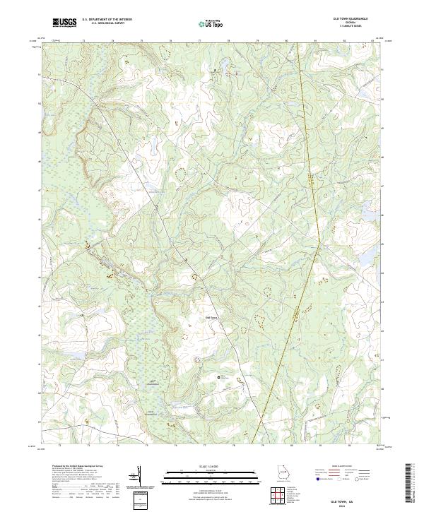
2024 Old Town
Jefferson County, GA