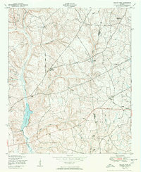
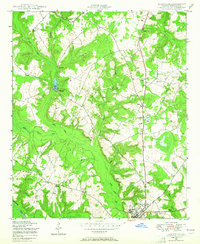
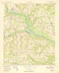
1950 Map of Kellys Pond
USGS Topo · Published 1950About this map
The agrarian landscape along the Jefferson Burke county line is captured here just after the war, defined by family-named landmarks and the network of churches and schools that anchored rural Georgia life. Centered around Kellys Pond and Big Creek, the map shows a society organized into smaller community nodes like Vidette and the Ellis Plantation. Several institutions serve dual roles for the population, such as Spring Bethel Church and School and Green Grove Church and School, indicating the localized nature of education and worship in this era.
Find a feature on this map
40 named features on this map. Tap any name to fly to it.
Don’t see what you’re looking for? This feature index may not catch every label — zoom into the map to look around manually.
Map Details
Editions of this 1950 Kellys Pond Map
2 editions found
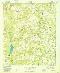
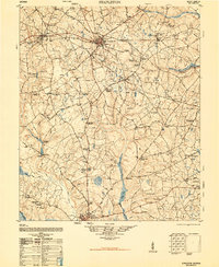
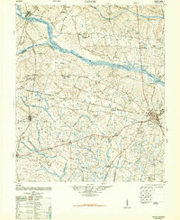
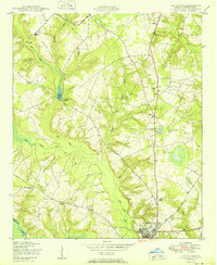
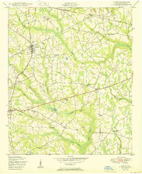
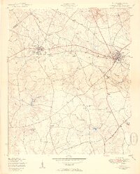
Other maps of this area

1919 · Gough
USGS Topo · 1:62,500

1920 · Stapleton
USGS Topo · 1:62,500
1948 · Stapleton
USGS Topo · 1:62,500
1948 · Gough
USGS Topo · 1:62,500
1948 · Louisville
USGS Topo · 1:24,000
1950 · Louisville
USGS Topo · 1:24,000
1950 · Gough
USGS Topo · 1:24,000
1950 · Wrens
USGS Topo · 1:24,000
1950 · Keysville
USGS Topo · 1:24,000
1950 · Matthews
USGS Topo · 1:24,000