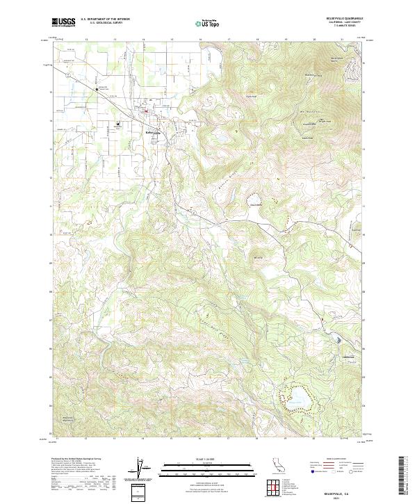
2021 Map of Kelseyville
USGS Topo · Published 2021About this map
Kelseyville serves as the focal point of this Lake County survey, situated at the base of the prominent volcanic complex of Mt Konocti. The landscape is defined by its dramatic relief, rising from the town's orchards and vineyards into the high summits of Wright Peak, Howard Peak, and South Peak. To the east, the Buckingham Bluffs and Buckingham Peak overlook the surrounding valleys, while Benson Ridge separates the major drainage basins.
Find a feature on this map
64 named features on this map. Tap any name to fly to it.
Don’t see what you’re looking for? This feature index may not catch every label — zoom into the map to look around manually.
Map Details
Editions of this 2021 Kelseyville Map
This is the sole edition of this map. No revisions or reprints were ever made.
Other maps of this area

1921 · Kelseyville
USGS Topo · 1:62,500

1924 · Bartlett Springs
USGS Topo · 1:62,500

1938 · Lakeport
USGS Topo · 1:62,500

1942 · Bartlett Springs
USGS Topo · 1:62,500

1943 · Kelseyville
USGS Topo · 1:62,500

1944 · Bartlett Springs
USGS Topo · 1:62,500

1945 · Lower Lake
USGS Topo · 1:62,500

1947 · Santa Rosa
USGS Topo · 1:250,000

1949 · Santa Rosa
USGS Topo · 1:250,000

1951 · Lakeport
USGS Topo · 1:62,500