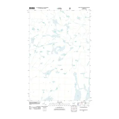
2011 Map of Kelso Mountain
USGS Topo · Published 2011About this map
Kelso Mountain rises over a dense network of glacial water bodies in this remote section of Schroeder Township. The landscape is defined by the headwaters and complex drainage of the Frost River, which connects several significant basins including Afton Lake and Intersection Lake. This 2011 survey records the intricate hydrology of a region where land is often secondary to the labyrinth of interconnected lakes. Small, uniquely named bodies like Pencil Lake, Mite Lake, and Snuff Lake are scattered between larger reservoirs like Mesaba Lake and Wine Lake. The absence of roads or permanent settlements highlights the wilderness character of the area, making the map an essential guide for tracing the exact shoreline contours and elevations surrounding the heights of Kelso Mountain.
Find a feature on this map
64 named features on this map. Tap any name to fly to it.
Don’t see what you’re looking for? This feature index may not catch every label — zoom into the map to look around manually.
Map Details
Editions of this 2011 Kelso Mountain Map
This is the sole edition of this map. No revisions or reprints were ever made.
Other maps of this area

1954 · Two Harbors
USGS Topo · 1:250,000

1957 · Two Harbors
USGS Topo · 1:250,000

1957 · Quetico
USGS Topo · 1:250,000

1958 · Two Harbors
USGS Topo · 1:250,000

1959 · Ogishkemuncie Lake
USGS Topo · 1:24,000

1959 · Gillis Lake
USGS Topo · 1:24,000

1960 · Lake Polly
USGS Topo · 1:24,000

1960 · Kawishiwi Lake
USGS Topo · 1:24,000

1960 · Sawbill Camp
USGS Topo · 1:24,000

1960 · Beth Lake
USGS Topo · 1:24,000