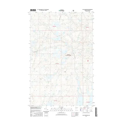
2016 Map of Kelso Mountain
USGS Topo · Published 2016About this map
Kelso Mtn rises above a dense network of glacial waters within the Superior National Forest, where the landscape is defined more by its liquid connectivity than by roads. The intricate drainage patterns of the Frost River link together dozens of named basins, including the central expanse of Mesaba Lake and the smaller, isolated Snuff Lake. These water bodies are connected by established portages and routes such as the Zenith Lake - Lujenida Lake path and the Bug Lake - Louse Lake trail, reflecting a wilderness navigation system that predates modern surveying. The map details the complex boundaries of townships like t64n r5w and t63n r4w, illustrating how the systematic public land survey grid was laid over this irregular terrain of bays and islands. From Afton Lake in the north to the many-fingered Wawaswi Lake, the sheet provides a high-resolution view of this remote portion of Cook County's wilderness interior.
Find a feature on this map
76 named features on this map. Tap any name to fly to it.
Don’t see what you’re looking for? This feature index may not catch every label — zoom into the map to look around manually.
Map Details
Editions of this 2016 Kelso Mountain Map
This is the sole edition of this map. No revisions or reprints were ever made.
Other maps of this area

1954 · Two Harbors
USGS Topo · 1:250,000

1957 · Two Harbors
USGS Topo · 1:250,000

1957 · Quetico
USGS Topo · 1:250,000

1958 · Two Harbors
USGS Topo · 1:250,000

1959 · Ogishkemuncie Lake
USGS Topo · 1:24,000

1959 · Gillis Lake
USGS Topo · 1:24,000

1960 · Lake Polly
USGS Topo · 1:24,000

1960 · Kawishiwi Lake
USGS Topo · 1:24,000

1960 · Sawbill Camp
USGS Topo · 1:24,000

1960 · Beth Lake
USGS Topo · 1:24,000