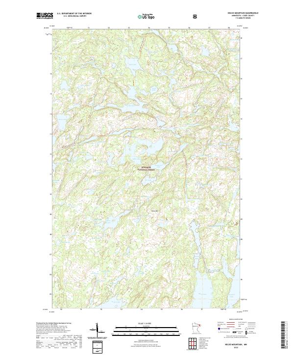
2022 Map of Kelso Mountain
USGS Topo · Published 2022About this map
Superior National Forest encompasses this wilderness area in Cook County, characterized by a dense network of glacial lakes and portage trails. The landscape is dominated by the prominent elevation of Kelso Mtn and the winding course of the Frost River as it moves through the northern sections of the quadrangle. The lack of traditional roads highlights the area's preservation as a primitive backcountry, where navigation relies on established routes such as the Hub Lake-Fente Lake Trl and the Bug Lake-Louse Lake Trl. Smaller water bodies like Mesaba Lake, Zenith Lake, and the uniquely named Myth Lake create a complex aquatic geography. Researchers can trace the historical portage connections between lakes like Louse Lake and Mite Lake, which have served travelers in this northern borderland for generations.
Find a feature on this map
71 named features on this map. Tap any name to fly to it.
Don’t see what you’re looking for? This feature index may not catch every label — zoom into the map to look around manually.
Map Details
Editions of this 2022 Kelso Mountain Map
This is the sole edition of this map. No revisions or reprints were ever made.
Other maps of this area

1954 · Two Harbors
USGS Topo · 1:250,000

1957 · Two Harbors
USGS Topo · 1:250,000

1957 · Quetico
USGS Topo · 1:250,000

1958 · Two Harbors
USGS Topo · 1:250,000

1959 · Ogishkemuncie Lake
USGS Topo · 1:24,000

1959 · Gillis Lake
USGS Topo · 1:24,000

1960 · Lake Polly
USGS Topo · 1:24,000

1960 · Kawishiwi Lake
USGS Topo · 1:24,000

1960 · Sawbill Camp
USGS Topo · 1:24,000

1960 · Beth Lake
USGS Topo · 1:24,000