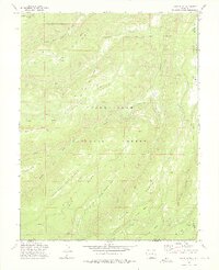
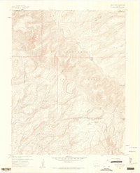
1973 Map of Kelso Point
USGS Topo · Published 1976About this map
Uncompahgre National Forest dominates this section of the Western Slope, where the drainage of Escalante Creek and its many forks have carved a complex series of high tables and benches. The landscape is defined by its massive flat-topped features, including the expansive Kelso Mesa and the distinctively named North Love Mesa Bench and South Love Mesa Bench. These elevations are separated by deep draws and canyons, such as Tatum Draw, creating a vertical geography that dictated human movement through the region.
Find a feature on this map
28 named features on this map. Tap any name to fly to it.
Don’t see what you’re looking for? This feature index may not catch every label — zoom into the map to look around manually.
Map Details
Editions of this 1973 Kelso Point Map
3 editions found
Other maps of this area

1916 · Paradox Valley
USGS Topo · 1:125,000

1922 · Paradox Valley
USGS Topo · 1:125,000

1956 · Moab
USGS Topo · 1:250,000

1959 · Moab
USGS Topo · 1:250,000

1960 · Moab
USGS Topo · 1:250,000
1960 · Nucla
USGS Topo · 1:62,500
1960 · Windy Point
USGS Topo · 1:24,000

1962 · Moab
USGS Topo · 1:250,000

1964 · Moab
USGS Topo · 1:250,000

1965 · Moab
USGS Topo · 1:250,000