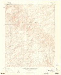
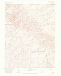
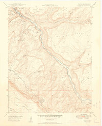
1960 Map of Windy Point
USGS Topo · Published 1962About this map
The Uncompahgre National Forest dominates this mountain landscape along the border of Mesa and Montrose counties. This 1960 field check reveals a terrain primarily used for seasonal livestock grazing and backcountry travel, anchored by Porters Cow Camp and The Meadows Ranch. The presence of an Airstrip and the T Bone Spring Campground suggests the area's mid-century role in providing access for forest management and recreation.
Find a feature on this map
25 named features on this map. Tap any name to fly to it.
Don’t see what you’re looking for? This feature index may not catch every label — zoom into the map to look around manually.
Map Details
Editions of this 1960 Windy Point Map
5 editions found

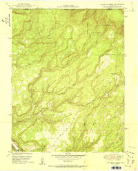
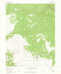
Other maps of this area

1916 · Paradox Valley
USGS Topo · 1:125,000

1922 · Paradox Valley
USGS Topo · 1:125,000

1948 · Uravan
USGS Topo · 1:24,000
1949 · Uravan
USGS Topo · 1:24,000

1949 · Atkinson Creek
USGS Topo · 1:24,000
1950 · Atkinson Creek
USGS Topo · 1:24,000

1956 · Moab
USGS Topo · 1:250,000

1959 · Moab
USGS Topo · 1:250,000

1960 · Moab
USGS Topo · 1:250,000
1960 · Nucla
USGS Topo · 1:24,000