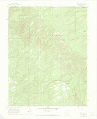
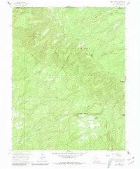
1960 Map of Windy Point
USGS Topo · Published 1969About this map
Uncompahgre National Forest dominates this high-altitude landscape along the border of Mesa and Montrose counties. In the early 1960s, this area served as active rangeland and timber country, evidenced by isolated outposts like Porters Cow Camp and The Meadows Ranch. The topography is defined by a complex network of drainages including Big Atkinson Creek, Shavano Creek, and North Fork Tabeguache Creek that carve through prominent elevations such as Windy Point, Spruce Mtn, and Round Mtn.
Find a feature on this map
24 named features on this map. Tap any name to fly to it.
Don’t see what you’re looking for? This feature index may not catch every label — zoom into the map to look around manually.
Map Details
Editions of this 1960 Windy Point Map
5 editions found
Other maps of this area

1916 · Paradox Valley
USGS Topo · 1:125,000

1922 · Paradox Valley
USGS Topo · 1:125,000

1948 · Uravan
USGS Topo · 1:24,000

1949 · Uravan
USGS Topo · 1:24,000

1949 · Atkinson Creek
USGS Topo · 1:24,000

1950 · Atkinson Creek
USGS Topo · 1:24,000

1956 · Moab
USGS Topo · 1:250,000

1959 · Moab
USGS Topo · 1:250,000

1960 · Moab
USGS Topo · 1:250,000
1960 · Nucla
USGS Topo · 1:24,000