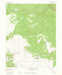
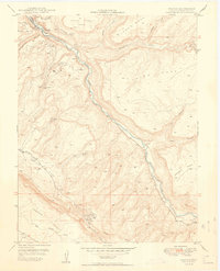
1960 Map of Nucla
USGS Topo · Published 1961About this map
Nucla stands as the primary hub of this high-plateau landscape, where the agricultural community meets the extractive industries of western Colorado. The town’s organized grid is clearly visible, supported by the Town Reservoir and essential local institutions like the High Sch and the Nucla Cemetery. To the south, the San Miguel River cuts through the terrain, crossed by the Calamity Bridge near several mining operations including the USV Mine.
Find a feature on this map
36 named features on this map. Tap any name to fly to it.
Don’t see what you’re looking for? This feature index may not catch every label — zoom into the map to look around manually.
Map Details
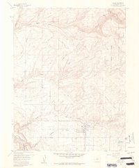
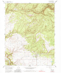
Editions of this 1960 Nucla Map
3 editions found
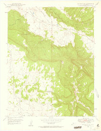
Other maps of this area

1916 · Paradox Valley
USGS Topo · 1:125,000

1922 · Paradox Valley
USGS Topo · 1:125,000

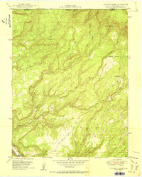
1948 · Uravan
USGS Topo · 1:24,000
1948 · Naturita NW
USGS Topo · 1:24,000
1949 · Uravan
USGS Topo · 1:24,000
1949 · Naturita NW
USGS Topo · 1:24,000

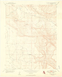
1949 · Atkinson Creek
USGS Topo · 1:24,000
1950 · Atkinson Creek
USGS Topo · 1:24,000

1956 · Moab
USGS Topo · 1:250,000

1959 · Moab
USGS Topo · 1:250,000