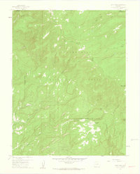
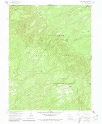
1960 Map of Windy Point
USGS Topo · Published 1962About this map
Uncompahgre National Forest spans this high-altitude landscape of the San Miguel Mountains as it appeared in the mid-20th century. The terrain is defined by a dense network of drainages including Shavano Creek, West Campbell Creek, and the North Fork Tabeguache Creek, which carve deep canyons between prominent summits like Spruce Mtn and Pinon Mtn. Settlement is scarce in this high country, represented only by isolated outposts such as Porters Cow Camp and The Meadows Ranch near the grassy clearing of The Meadows. This 1960 field check reveals the historic trail and transportation network of the era, including the Indian Trail and the curiously named Forty-Seven and Meadows Trail, alongside various unimproved roads and jeep tracks that provided access for ranching and forest management.
Find a feature on this map
25 named features on this map. Tap any name to fly to it.
Don’t see what you’re looking for? This feature index may not catch every label — zoom into the map to look around manually.
Map Details
Editions of this 1960 Windy Point Map
5 editions found
Other maps of this area

1916 · Paradox Valley
USGS Topo · 1:125,000

1922 · Paradox Valley
USGS Topo · 1:125,000

1948 · Uravan
USGS Topo · 1:24,000

1949 · Uravan
USGS Topo · 1:24,000

1949 · Atkinson Creek
USGS Topo · 1:24,000

1950 · Atkinson Creek
USGS Topo · 1:24,000

1956 · Moab
USGS Topo · 1:250,000

1959 · Moab
USGS Topo · 1:250,000

1960 · Moab
USGS Topo · 1:250,000
1960 · Nucla
USGS Topo · 1:24,000