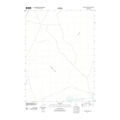
2011 Map of Kelton Pass SE
USGS Topo · Published 2011About this map
Curlew Valley defines this northern Utah landscape, where a sparse network of infrastructure marks the transition between open range and the Wildcat Hills. The geography is characterized by the long trace of Old Railroad Grade Rd running across the southern reaches, a name that recalls the historic rail corridor that once linked this remote section of Box Elder County to the transcontinental network. Agriculture and ranching are anchored by the Bar F Ranch in the west, while several segments of County Rd provide the primary transit through the valley. This 2011 survey documents a high-desert environment where modern land use continues to follow the paths laid by nineteenth-century transportation engineering.
Find a feature on this map
5 named features on this map. Tap any name to fly to it.
Don’t see what you’re looking for? This feature index may not catch every label — zoom into the map to look around manually.
Map Details
Editions of this 2011 Kelton Pass SE Map
This is the sole edition of this map. No revisions or reprints were ever made.
Other maps of this area

1954 · Brigham City
USGS Topo · 1:250,000

1958 · Brigham City
USGS Topo · 1:250,000

1959 · Kelton Pass
USGS Topo · 1:62,500

1962 · Brigham City
USGS Topo · 1:250,000

1968 · Monument Peak NW
USGS Topo · 1:24,000

1968 · Monument Peak SW
USGS Topo · 1:24,000

1969 · Peplin Flats
USGS Topo · 1:24,000

1969 · Locomotive Springs
USGS Topo · 1:24,000

1969 · Crocodile Mtn NE
USGS Topo · 1:24,000

1987 · Grouse Creek
USGS Topo · 1:100,000