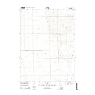
2014 Map of Kelton Pass SE
USGS Topo · Published 2014About this map
Wildcat Hills dominate the northeastern portion of this Box Elder County landscape, providing a stark topographical contrast to the broad expanse of the Curlew Valley below. This 2014 survey documents a network of remote roads including Wildcat Mountain Rd and S Wildcat Rd that navigate the high ground and alluvial fans of the Great Basin. The southern reaches of the map show the intersection of Kelton Rd and W 15200 N, indicating the persistent grid of rural infrastructure in this arid region. The geography here is defined by township boundaries like t13n r11w and t12n r10w, where drainage patterns from the hills disappear into the valley floor, illustrating the typical hydrography of Utah’s high desert basins.
Find a feature on this map
14 named features on this map. Tap any name to fly to it.
Don’t see what you’re looking for? This feature index may not catch every label — zoom into the map to look around manually.
Map Details
Editions of this 2014 Kelton Pass SE Map
This is the sole edition of this map. No revisions or reprints were ever made.
Other maps of this area

1954 · Brigham City
USGS Topo · 1:250,000

1958 · Brigham City
USGS Topo · 1:250,000

1959 · Kelton Pass
USGS Topo · 1:62,500

1962 · Brigham City
USGS Topo · 1:250,000

1968 · Monument Peak NW
USGS Topo · 1:24,000

1968 · Monument Peak SW
USGS Topo · 1:24,000

1969 · Peplin Flats
USGS Topo · 1:24,000

1969 · Locomotive Springs
USGS Topo · 1:24,000

1969 · Crocodile Mtn NE
USGS Topo · 1:24,000

1987 · Grouse Creek
USGS Topo · 1:100,000