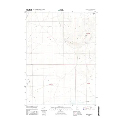
2017 Map of Kelton Pass SE
USGS Topo · Published 2017About this map
Wildcat Hills dominate the topography of this corner of Box Elder County, where the desert landscape transitions toward the Curlew Valley in the northeast. The presence of the Old Railroad Grade Rd running along the southern edge of the quadrangle provides a significant historical anchor, tracing the path of former rail infrastructure through the region. This transportation legacy is complemented by a network of established local thoroughfares such as Kelton Rd and W Wildcat Hills Rd. The map illustrates a largely open terrain organized by the Public Land Survey System, as evidenced by the grid of township and range lines including t13n r11w and t12n r10w. This 2017 survey reflects the enduring spatial organization of this remote Utah territory, where modern roads follow the same corridors established by early travelers and surveyors.
Find a feature on this map
13 named features on this map. Tap any name to fly to it.
Don’t see what you’re looking for? This feature index may not catch every label — zoom into the map to look around manually.
Map Details
Editions of this 2017 Kelton Pass SE Map
This is the sole edition of this map. No revisions or reprints were ever made.
Other maps of this area

1954 · Brigham City
USGS Topo · 1:250,000

1958 · Brigham City
USGS Topo · 1:250,000

1959 · Kelton Pass
USGS Topo · 1:62,500

1962 · Brigham City
USGS Topo · 1:250,000

1968 · Monument Peak NW
USGS Topo · 1:24,000

1968 · Monument Peak SW
USGS Topo · 1:24,000

1969 · Peplin Flats
USGS Topo · 1:24,000

1969 · Locomotive Springs
USGS Topo · 1:24,000

1969 · Crocodile Mtn NE
USGS Topo · 1:24,000

1987 · Grouse Creek
USGS Topo · 1:100,000