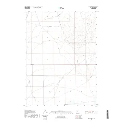
2020 Map of Kelton Pass SE
USGS Topo · Published 2020About this map
The Curlew Valley landscape in northern Utah is defined by the striking presence of the Wildcat Hills, a series of elevations that dominate the eastern portion of this high desert terrain. This 2020 survey illustrates a region shaped by its transit history, most notably marked by the Old Railroad Grade Rd running across the southern expanse. This path traces the legacy of the transcontinental rail route through Box Elder County, providing a clear reference for those studying the industrial and transportation development of the Great Basin.
Find a feature on this map
9 named features on this map. Tap any name to fly to it.
Don’t see what you’re looking for? This feature index may not catch every label — zoom into the map to look around manually.
Map Details
Editions of this 2020 Kelton Pass SE Map
This is the sole edition of this map. No revisions or reprints were ever made.
Other maps of this area

1954 · Brigham City
USGS Topo · 1:250,000

1958 · Brigham City
USGS Topo · 1:250,000

1959 · Kelton Pass
USGS Topo · 1:62,500

1962 · Brigham City
USGS Topo · 1:250,000

1968 · Monument Peak NW
USGS Topo · 1:24,000

1968 · Monument Peak SW
USGS Topo · 1:24,000

1969 · Peplin Flats
USGS Topo · 1:24,000

1969 · Locomotive Springs
USGS Topo · 1:24,000

1969 · Crocodile Mtn NE
USGS Topo · 1:24,000

1987 · Grouse Creek
USGS Topo · 1:100,000