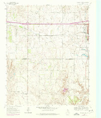
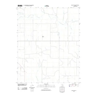
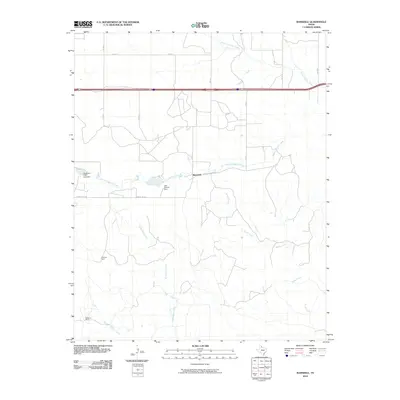
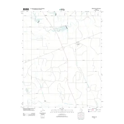
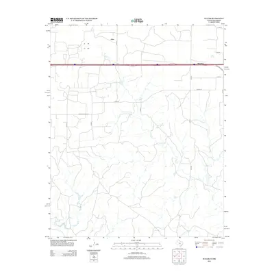
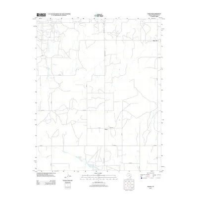
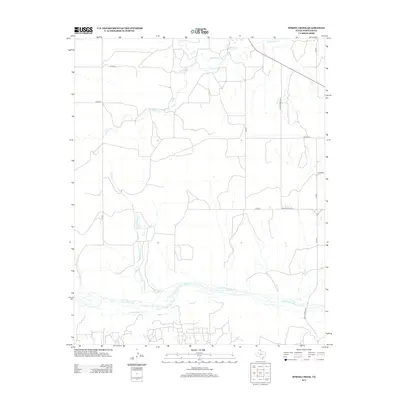
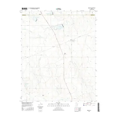
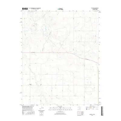
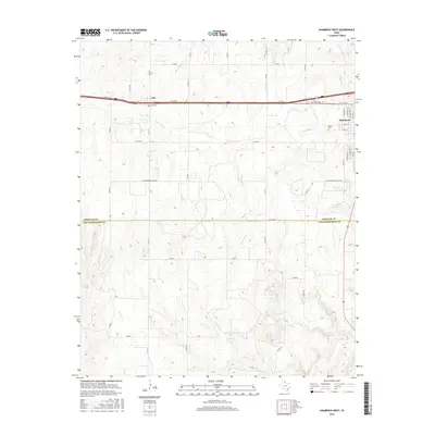
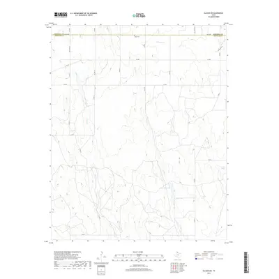
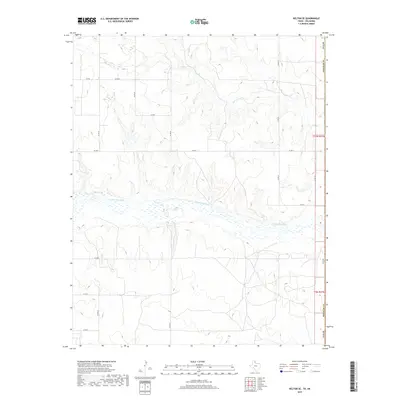
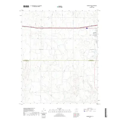
1962 Map of Kelton SE
USGS Topo · Published 1965About this map
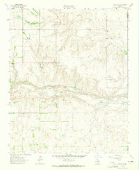
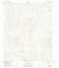
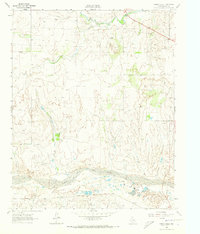
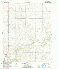
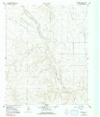
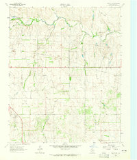
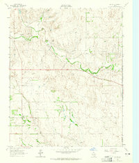
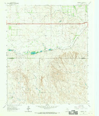
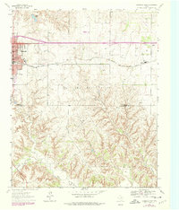
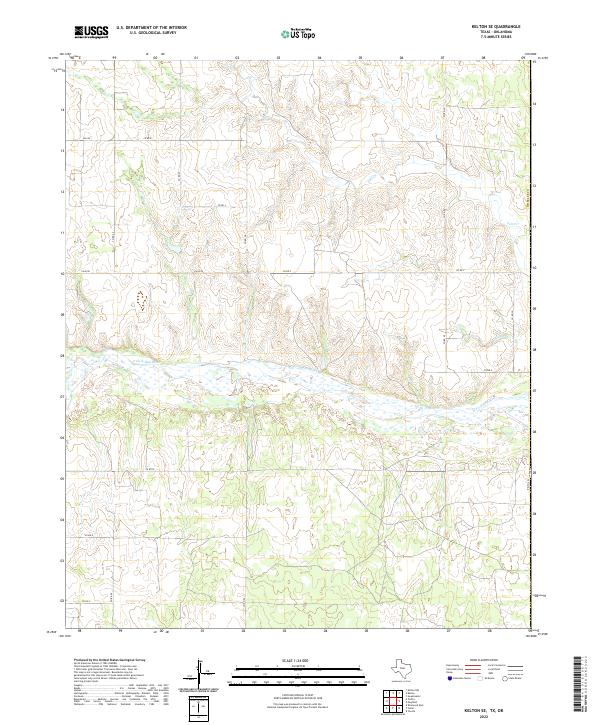
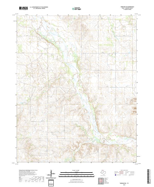
The North Fork Red River carves a broad path through the eastern Panhandle, defining the rugged hydrology of this region in the early 1960s. This survey, produced by the USGS in cooperation with the Texas Water Commission, focuses on the canyon-cut terrain where Salt Creek flows southeast toward the state line. The landscape reflects a mix of ranching and emerging resource extraction, indicated by numerous Storage Bins near the river and isolated Oil Wells scattered across the southern plateaus. Surveyors also documented active Gravel Pits and a specific Spring south of the main river fork, providing a detailed record of the local water sources and industry during this period. The map further delineates the exact junction where the Panhandle meets the Oklahoma border, showing the intersection of Wheeler and Beckham counties.
Find a feature on this map
9 named features on this map. Tap any name to fly to it.
Don’t see what you’re looking for? This feature index may not catch every label — zoom into the map to look around manually.
Map Details
Editions of this 1962 Kelton SE Map
This is the sole edition of this map. No revisions or reprints were ever made.
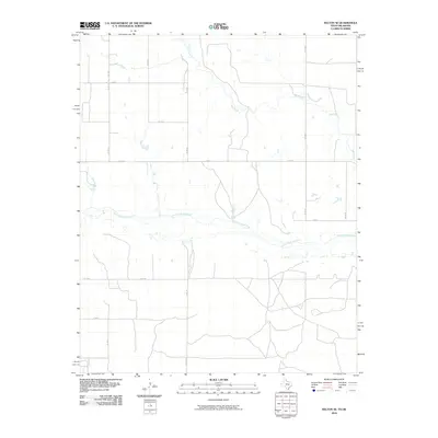
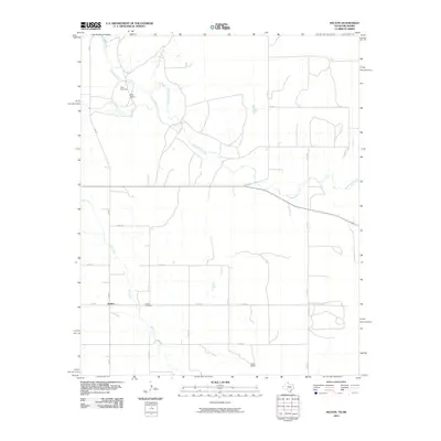
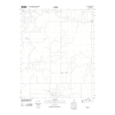
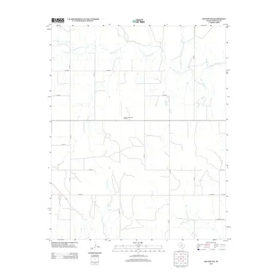
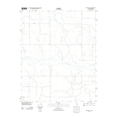
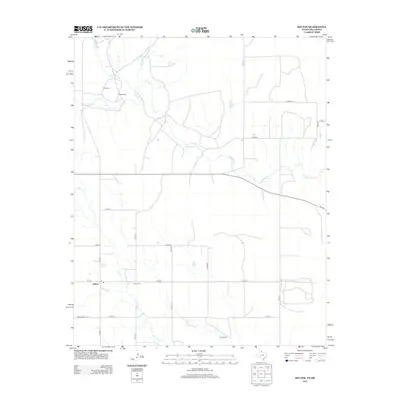
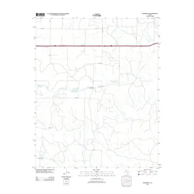
Historical Maps of Beckham County Through Time
78 maps found
1962 Kelton SE
Wheeler County, TX
1962 Pakan
Wheeler County, TX
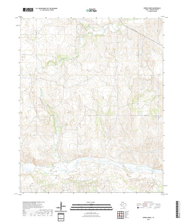
1962 Spring Creek
Wheeler County, TX
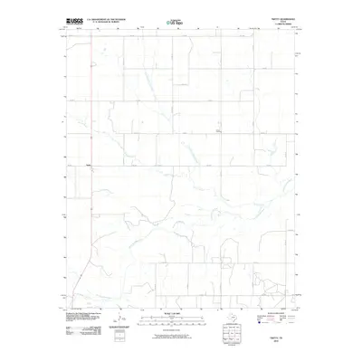
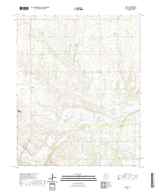
1962 Twitty
Wheeler County, TX
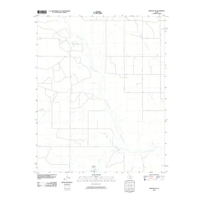
1962 Wheeler SE
Wheeler County, TX
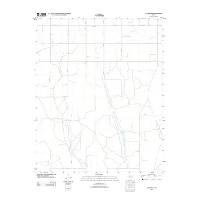
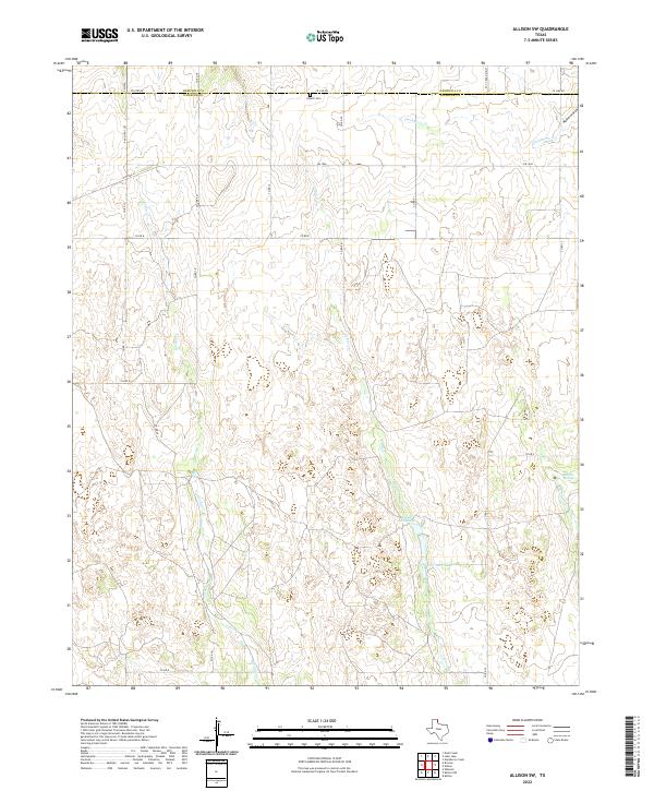
1963 Allison SW
Wheeler County, TX
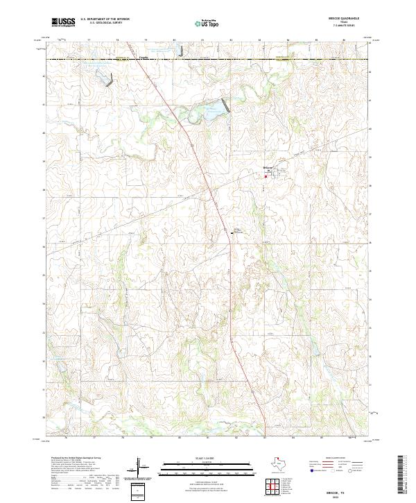
1963 Briscoe
Wheeler County, TX
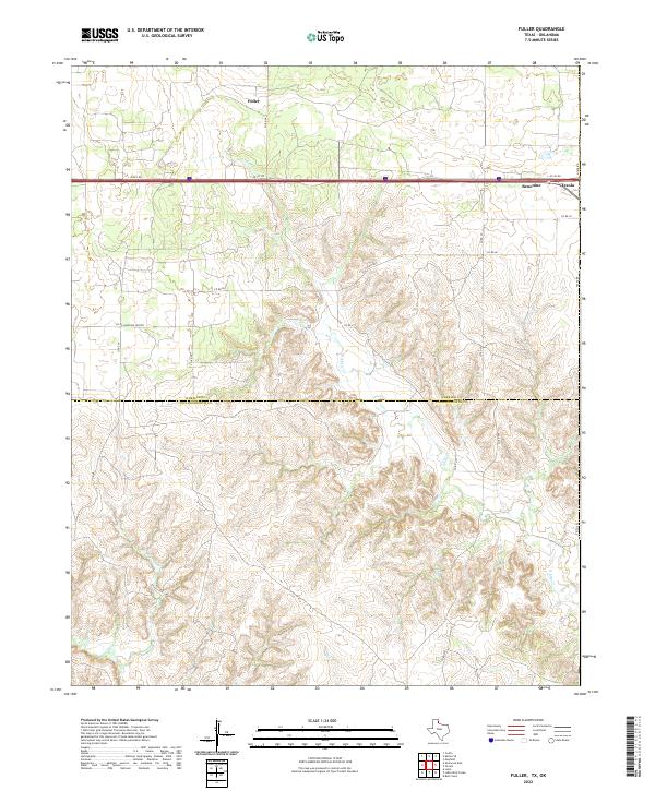
1963 Fulller
Wheeler County, TX
1963 Kelton NW
Wheeler County, TX
1963 Kelton
Wheeler County, TX
1963 Ramsdell
Wheeler County, TX
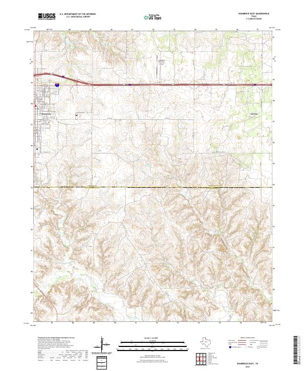
1963 Shamrock East
Wheeler County, TX
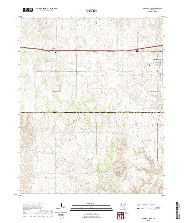
1963 Shamrock West
Wheeler County, TX
2010 Allison SW
Wheeler County, TX
2010 Briscoe
Wheeler County, TX
2010 Fuller
Wheeler County, TX
2010 Kelton NW
Wheeler County, TX
2010 Kelton SE
Wheeler County, TX
2010 Kelton
Wheeler County, TX
2010 Pakan
Wheeler County, TX
2010 Ramsdell
Wheeler County, TX
2010 Shamrock East
Wheeler County, TX
2010 Shamrock West
Wheeler County, TX
2010 Spring Creek
Wheeler County, TX
2010 Twitty
Wheeler County, TX
2010 Wheeler SE
Wheeler County, TX
2012 Allison SW
Wheeler County, TX
2012 Briscoe
Wheeler County, TX
2012 Fuller
Wheeler County, TX
2012 Kelton NW
Wheeler County, TX
2012 Kelton SE
Wheeler County, TX
2012 Kelton
Wheeler County, TX
2012 Pakan
Wheeler County, TX
2012 Ramsdell
Wheeler County, TX
2012 Shamrock East
Wheeler County, TX
2012 Shamrock West
Wheeler County, TX
2012 Spring Creek
Wheeler County, TX
2012 Twitty
Wheeler County, TX
2012 Wheeler SE
Wheeler County, TX
2016 Allison SW
Wheeler County, TX
2016 Briscoe
Wheeler County, TX
2016 Fuller
Wheeler County, TX
2016 Kelton NW
Wheeler County, TX
2016 Kelton SE
Wheeler County, TX
2016 Kelton
Wheeler County, TX
2016 Pakan
Wheeler County, TX
2016 Ramsdell
Wheeler County, TX
2016 Shamrock East
Wheeler County, TX
2016 Shamrock West
Wheeler County, TX
2016 Spring Creek
Wheeler County, TX
2016 Twitty
Wheeler County, TX
2016 Wheeler SE
Wheeler County, TX
2019 Allison SW
Wheeler County, TX
2019 Briscoe
Wheeler County, TX
2019 Fuller
Wheeler County, TX
2019 Kelton NW
Wheeler County, TX
2019 Kelton SE
Wheeler County, TX
2019 Kelton
Wheeler County, TX
2019 Pakan
Wheeler County, TX
2019 Ramsdell
Wheeler County, TX

2019 Shamrock East
Wheeler County, TX
2019 Shamrock West
Wheeler County, TX
2019 Spring Creek
Wheeler County, TX
2019 Twitty
Wheeler County, TX
2019 Wheeler SE
Wheeler County, TX
2022 Allison SW
Wheeler County, TX
2022 Briscoe
Wheeler County, TX
2022 Fuller
Wheeler County, TX
2022 Kelton NW
Wheeler County, TX
2022 Kelton SE
Wheeler County, TX
2022 Kelton
Wheeler County, TX
2022 Pakan
Wheeler County, TX
2022 Ramsdell
Wheeler County, TX
2022 Shamrock East
Wheeler County, TX
2022 Shamrock West
Wheeler County, TX
2022 Spring Creek
Wheeler County, TX
2022 Twitty
Wheeler County, TX
2022 Wheeler SE
Wheeler County, TX