
1969 Map of Kelton
USGS Topo · Published 1973About this map
The Pacolet River forms the northern boundary of this landscape, separating the rugged hill country of Cherokee and Union Counties. The terrain is defined by a dense network of drainages, including Peter Harris Creek and Hughes Creek, which carve through the Piedmont uplands. Settlement patterns are focused along ridge-top roads and the Southern railroad line, which connects the small communities of Kelly, Adamsburg, and Robat.
Find a feature on this map
35 named features on this map. Tap any name to fly to it.
Don’t see what you’re looking for? This feature index may not catch every label — zoom into the map to look around manually.
Map Details
Editions of this 1969 Kelton Map
This is the sole edition of this map. No revisions or reprints were ever made.
Other maps of this area

1907 · Sharon
USGS Topo · 1:62,500

1941 · Spartanburg
USGS Topo · 1:250,000

1953 · Spartanburg
USGS Topo · 1:250,000

1960 · Spartanburg
USGS Topo · 1:250,000

1963 · Spartanburg
USGS Topo · 1:250,000

1964 · Spartanburg
USGS Topo · 1:250,000
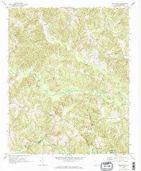
1968 · Wilkinsville
USGS Topo · 1:24,000
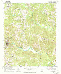
1969 · Pacolet Mills
USGS Topo · 1:24,000

1969 · Union West
USGS Topo · 1:24,000
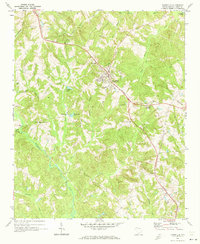
1969 · Jonesville
USGS Topo · 1:24,000