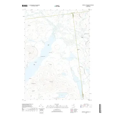
2019 Map of Kempshall Mountain
USGS Topo · Published 2019About this map
Kempshall Mtn rises over a dense network of water bodies and trails within the Adirondack Park at the intersection of Franklin, Hamilton, and Essex Counties. The landscape is defined by the central expanse of Long Lake, where Island House and the Camp Islands suggest a history of seasonal recreation and wilderness lodging. To the east, the Northville-Lake Placid Trl threads through the backcountry, passing by the junction of the Cold River and Moose Creek near the outpost at Shattuck Clearing. This area demonstrates a preserved wilderness economy where modern recreation follows the same water and trail routes used for generations. Notable elevations like Blueberry Mtn and Spruce Top flank the glacial valleys, while smaller basins like Pickwacket Pond and Round Pond fill the low-lying wetlands between the ridges.
Find a feature on this map
40 named features on this map. Tap any name to fly to it.
Don’t see what you’re looking for? This feature index may not catch every label — zoom into the map to look around manually.
Map Details
Editions of this 2019 Kempshall Mountain Map
This is the sole edition of this map. No revisions or reprints were ever made.
Other maps of this area

1898 · Newcomb
USGS Topo · 1:62,500

1901 · Newcomb
USGS Topo · 1:62,500

1903 · Blue Mountain
USGS Topo · 1:62,500

1904 · Santanoni
USGS Topo · 1:62,500

1904 · Long Lake
USGS Topo · 1:62,500

1948 · Ogdensburg
USGS Topo · 1:250,000

1950 · Utica
USGS Topo · 1:250,000

1951 · Ogdensburg
USGS Topo · 1:250,000

1953 · Ogdensburg
USGS Topo · 1:250,000

1953 · Santanoni
USGS Topo · 1:62,500