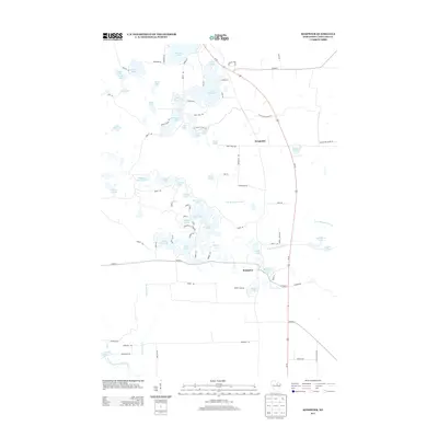
2013 Map of Kempster
USGS Topo · Published 2013About this map
Glacial kettle lakes and river headwaters define this portion of Langlade County, where the settlement of Kempster sits along the Us-45 corridor. The landscape is densely packed with water bodies of varying sizes, from the expansive Greater Bass Lake and Summit Lake in the north to smaller, distinctively shaped basins like Shoestring Lake and Crooked Lake. These waters feed the E Br Eau Claire River, which winds eastward through the center of the quadrangle.
Find a feature on this map
88 named features on this map. Tap any name to fly to it.
Don’t see what you’re looking for? This feature index may not catch every label — zoom into the map to look around manually.
Map Details
Editions of this 2013 Kempster Map
This is the sole edition of this map. No revisions or reprints were ever made.
Other maps of this area

1899 · Wausau
USGS Topo · 1:125,000

1902 · Wausau
USGS Topo · 1:125,000

1940 · Parrish
USGS Topo · 1:48,000

1942 · Elcho
USGS Topo · 1:48,000

1950 · Elcho
USGS Topo · 1:48,000

1950 · Parrish
USGS Topo · 1:48,000

1951 · Doering
USGS Topo · 1:48,000

1952 · Parrish
USGS Topo · 1:48,000

1952 · Antigo
USGS Topo · 1:48,000

1954 · Iron Mountain
USGS Topo · 1:250,000