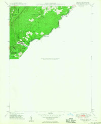
1949 Map of Kempton
USGS Topo · Published 1949About this map
Backbone Mountain anchors this 1949 topographic study of the high Appalachian plateau where the Maryland and West Virginia border follows the winding course of the Potomac River. The landscape is defined by the early industrial and transit corridor of the Western Maryland railroad, which served the coal and timber interests of the region. Small mountain communities like Kempton and Henry are situated along the rail line, revealing the settlement patterns of the late 1940s before modern highway expansion. Of particular significance to surveyors and historians is the Fairfax Stone, a critical landmark for the Potomac's headwaters and the historic boundary between the two states. The presence of the Red Oak Sch and numerous small watercourses like Chestnut Ridge Run and Laurel Run indicates a dispersed but established rural population living within the proximity of the Monongahela National Forest.
Find a feature on this map
22 named features on this map. Tap any name to fly to it.
Don’t see what you’re looking for? This feature index may not catch every label — zoom into the map to look around manually.
Map Details
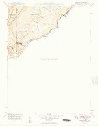
Editions of this 1949 Kempton Map
2 editions found
Other maps of this area

1886 · St. George
USGS Topo · 1:125,000

1891 · St. George
USGS Topo · 1:125,000

1895 · Piedmont
USGS Topo · 1:125,000

1899 · Oakland
USGS Topo · 1:62,500

1900 · Oakland
USGS Topo · 1:62,500

1907 · Kingwood
USGS Topo · 1:62,500

1908 · Parsons
USGS Topo · 1:62,500

1916 · Davis
USGS Topo · 1:48,000

1918 · Davis
USGS Topo · 1:62,500

1919 · Davis
USGS Topo · 1:62,500