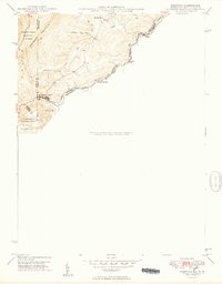
1949 Map of Kempton
USGS Topo · Published 1949About this map
Backbone Mountain anchors this 1949 topographic study of the tri-border region where Maryland and West Virginia converge. This industrial landscape is defined by the winding course of the North Branch Potomac River and the high-elevation settlements that supported the region's extraction and rail economy. The historic Fairfax Stone marks a crucial corner in the boundary between the two states, signaling the headwaters of the Potomac. Near the mining community of Kempton, the Western Maryland railroad snakes through the terrain to connect remote outposts like Dobbin and Henry. The map also captures local civic infrastructure, such as the Red Oak Sch, set against the protected slopes of the Monongahela National Forest.
Find a feature on this map
23 named features on this map. Tap any name to fly to it.
Don’t see what you’re looking for? This feature index may not catch every label — zoom into the map to look around manually.
Map Details
Editions of this 1949 Kempton Map
2 editions found
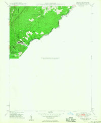
Other maps of this area

1886 · St. George
USGS Topo · 1:125,000

1891 · St. George
USGS Topo · 1:125,000

1895 · Piedmont
USGS Topo · 1:125,000

1899 · Oakland
USGS Topo · 1:62,500

1900 · Oakland
USGS Topo · 1:62,500

1907 · Kingwood
USGS Topo · 1:62,500

1908 · Parsons
USGS Topo · 1:62,500

1916 · Davis
USGS Topo · 1:48,000

1918 · Davis
USGS Topo · 1:62,500

1919 · Davis
USGS Topo · 1:62,500