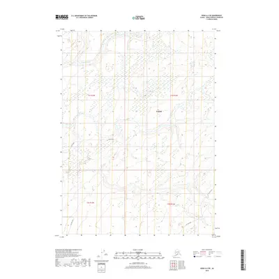
2018 Map of Kenai A-4 SW
USGS Topo · Published 2018About this map
Ninilchik sits at the heart of this inland Kenai Peninsula landscape, where the terrain is defined by the winding course of the Ninilchik River. The 2018 survey reveals a territory structured by township and range lines, notably t1s r13w and t2s r12w, reflecting the systematic organization of Alaskan lands. The presence of Oil Well Road slicing through the southern sections points to the region's industrial connection to resource extraction, a common theme in the Kenai's modern history. Local transport is further represented by Zoyas Avenue, providing a trace of residential or access development within the broader wilderness. This map provides a precise view of the drainage patterns and elevation changes across the peninsula, offering essential context for understanding the spatial relationship between small settlements and the natural waterways that sustain them.
Find a feature on this map
8 named features on this map. Tap any name to fly to it.
Don’t see what you’re looking for? This feature index may not catch every label — zoom into the map to look around manually.
Map Details
Editions of this 2018 Kenai A-4 SW Map
This is the sole edition of this map. No revisions or reprints were ever made.
Other maps of this area

1944 · Kenai
USGS Topo · 1:250,000

1946 · Seldovia D-5
USGS Topo · 1:63,360

1949 · Seldovia D-4
USGS Topo · 1:63,360

1950 · Kenai
USGS Topo · 1:250,000

1951 · Seldovia D-5
USGS Topo · 1:63,360

1951 · Seldovia D-4
USGS Topo · 1:63,360

1951 · Seldovia
USGS Topo · 1:250,000

1951 · Kenai A-5
USGS Topo · 1:63,360

1951 · Kenai A-4
USGS Topo · 1:63,360

1952 · Kenai A-5
USGS Topo · 1:63,360