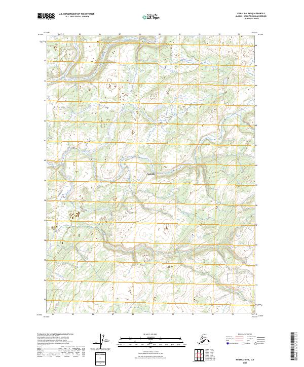
2024 Map of Kenai A-4 SW
USGS Topo · Published 2024About this map
Ninilchik sits at the heart of this inland coastal landscape, where the Ninilchik River carves a winding path through the brush and wetlands of the western Kenai Peninsula. The settlement pattern here is defined by low-density development and the utilitarian access provided by corridors like Oil Well Road and Zoyas Avenue. The river dominates the northern and central sections, its meanders creating a complex drainage system that characterizes the terrain between the Cook Inlet coast and the rising highlands to the east. This 2024 data represents a modern view of the region, emphasizing the persistent rural character of the land and the importance of localized infrastructure in this relatively undeveloped portion of Alaska.
Find a feature on this map
8 named features on this map. Tap any name to fly to it.
Don’t see what you’re looking for? This feature index may not catch every label — zoom into the map to look around manually.
Map Details
Editions of this 2024 Kenai A-4 SW Map
This is the sole edition of this map. No revisions or reprints were ever made.
Other maps of this area

1944 · Kenai
USGS Topo · 1:250,000

1946 · Seldovia D-5
USGS Topo · 1:63,360

1949 · Seldovia D-4
USGS Topo · 1:63,360

1950 · Kenai
USGS Topo · 1:250,000

1951 · Seldovia D-5
USGS Topo · 1:63,360

1951 · Seldovia D-4
USGS Topo · 1:63,360

1951 · Seldovia
USGS Topo · 1:250,000

1951 · Kenai A-5
USGS Topo · 1:63,360

1951 · Kenai A-4
USGS Topo · 1:63,360

1952 · Kenai A-5
USGS Topo · 1:63,360