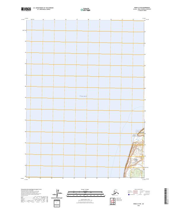
2024 Map of Kenai A-5 SW
USGS Topo · Published 2024About this map
Cook Inlet dominates this coastal survey, where the waters meet the western shore of the Kenai Peninsula. The landscape transition from the inlet to the elevated coastal bluffs is marked by the prominent Cape Ninilchik, a geographic anchor for the region. Inland development is clustered along the Sterling Highway corridor, which serves as the primary artery connecting the various residential and community hubs. The settlement patterns around Ninilchik and Happy Valley suggest a community oriented toward both the water and the road, with a grid of local connectors like Tidal Knoll Road and Arcturus Loop reaching into the wooded interior. This survey provides a precise look at the modern interface between the rugged Alaskan coastline and the expanding infrastructure of the southern Kenai Peninsula borough.
Find a feature on this map
31 named features on this map. Tap any name to fly to it.
Don’t see what you’re looking for? This feature index may not catch every label — zoom into the map to look around manually.
Map Details
Editions of this 2024 Kenai A-5 SW Map
This is the sole edition of this map. No revisions or reprints were ever made.
Other maps of this area

1944 · Kenai
USGS Topo · 1:250,000

1946 · Seldovia D-5
USGS Topo · 1:63,360

1950 · Kenai
USGS Topo · 1:250,000

1951 · Seldovia D-5
USGS Topo · 1:63,360

1951 · Seldovia
USGS Topo · 1:250,000

1951 · Kenai A-5
USGS Topo · 1:63,360

1952 · Kenai A-5
USGS Topo · 1:63,360

1958 · Kenai
USGS Topo · 1:250,000
1961 · Seldovia D-5
USGS Topo · 1:63,360

1963 · Seldovia
USGS Topo · 1:250,000