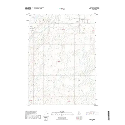
2017 Map of Kenai B-3 NE
USGS Topo · Published 2017About this map
Funny River sits at the heart of this landscape, where the namesake waterway meets the winding Kenai River. The settlement pattern in this 2017 survey reflects a blend of rural Alaskan lifestyle and aviation access, evidenced by the Dan France Airport and the Moose Run Airstrip. A network of residential streets with evocative names like Solitude Street, Seclusion Street, and Alaskan View Lane spans the northern sections of the map. Beyond the developed corridors, the terrain is defined by its recreation and transport history, marked by the Funny River Horse Trail and the Hanson Horse Trail. Water bodies such as Longmere Lake and Aurora Lake punctuate the marshy lowlands, anchoring a region where the proximity to the river remains the primary geographic influence on both settlement and wilderness travel.
Find a feature on this map
39 named features on this map. Tap any name to fly to it.
Don’t see what you’re looking for? This feature index may not catch every label — zoom into the map to look around manually.
Map Details
Editions of this 2017 Kenai B-3 NE Map
This is the sole edition of this map. No revisions or reprints were ever made.
Other maps of this area

1944 · Kenai
USGS Topo · 1:250,000

1950 · Kenai
USGS Topo · 1:250,000

1950 · Kenai C-3
USGS Topo · 1:63,360

1950 · Kenai B-3
USGS Topo · 1:63,360

1951 · Kenai B-2
USGS Topo · 1:63,360

1951 · Kenai C-2
USGS Topo · 1:63,360

1951 · Kenai C-3
USGS Topo · 1:63,360

1952 · Kenai C-2
USGS Topo · 1:63,360

1952 · Kenai B-3
USGS Topo · 1:63,360

1952 · Kenai B-2
USGS Topo · 1:63,360