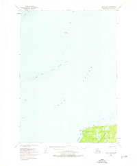
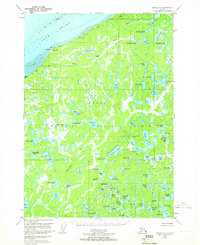
1951 Map of Kenai C-3
USGS Topo · Published 1966About this map
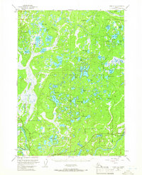
Kenai National Moose Range dominates this mid-century landscape, a complex system of kettle lakes and wetlands on the Kenai Peninsula. The map details the early development of the region, showing the Sterling Highway and Robinson Loop Road providing access to the nascent settlement at Sterling. This era is particularly notable for the industrial footprint appearing within the wildlife range, specifically an Oil Field and an associated Landing Strip near Swanson River.
Find a feature on this map
61 named features on this map. Tap any name to fly to it.
Don’t see what you’re looking for? This feature index may not catch every label — zoom into the map to look around manually.
Map Details
Editions of this 1951 Kenai C-3 Map
4 editions found

Other maps of this area

1944 · Kenai
USGS Topo · 1:250,000

1950 · Kenai
USGS Topo · 1:250,000

1950 · Kenai C-3
USGS Topo · 1:63,360
1950 · Kenai B-3
USGS Topo · 1:63,360
1950 · Kenai D-4
USGS Topo · 1:63,360
1951 · Kenai D-3
USGS Topo · 1:63,360
1951 · Kenai B-2
USGS Topo · 1:63,360
1951 · Kenai C-2
USGS Topo · 1:63,360
1951 · Kenai D-2
USGS Topo · 1:63,360
1951 · Kenai C-4
USGS Topo · 1:63,360