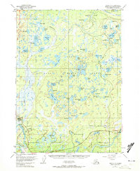
1951 Map of Kenai C-3
USGS Topo · Published 1972About this map
The Kenai National Moose Range dominates this landscape, showing a dense network of subarctic lakes and wetlands as they appeared in the early 1950s. While most of the terrain is characterized by water bodies like Akula Lake, Shadura Lake, and Dolly Varden Lake, human industry is evident in the burgeoning Oil Field and scattered Drill Holes that signal the era's energy exploration.
Find a feature on this map
64 named features on this map. Tap any name to fly to it.
Don’t see what you’re looking for? This feature index may not catch every label — zoom into the map to look around manually.
Map Details
Editions of this 1951 Kenai C-3 Map
4 editions found

Other maps of this area

1944 · Kenai
USGS Topo · 1:250,000

1950 · Kenai
USGS Topo · 1:250,000

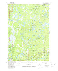
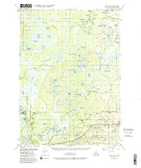
1950 · Kenai C-3
USGS Topo · 1:63,360

1950 · Kenai B-3
USGS Topo · 1:63,360

1950 · Kenai D-4
USGS Topo · 1:63,360

1951 · Kenai D-3
USGS Topo · 1:63,360

1951 · Kenai B-2
USGS Topo · 1:63,360

1951 · Kenai C-2
USGS Topo · 1:63,360

1951 · Kenai D-2
USGS Topo · 1:63,360

1951 · Kenai C-4
USGS Topo · 1:63,360