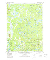
1951 Map of Kenai C-3
USGS Topo · Published 1981About this map
Swanson River winds through a vast wilderness of the Kenai National Moose Range in this mid-century survey, updated in the early 1980s. The landscape is defined by an intricate network of hundreds of small lakes, such as Plover Lake, Shadura Lake, and Dolly Varden Lake, which highlight the glacial topography of the Kenai Peninsula. While much of the area remains undeveloped, the industrial footprint of the Swanson River Oil Field is evident with numerous oil wells, gas wells, and a pipeline corridor cutting through the spruce and muskeg.
Find a feature on this map
75 named features on this map. Tap any name to fly to it.
Don’t see what you’re looking for? This feature index may not catch every label — zoom into the map to look around manually.
Map Details
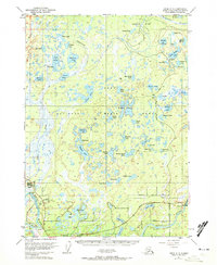
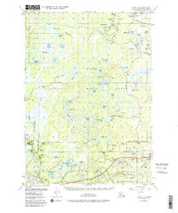
Editions of this 1951 Kenai C-3 Map
4 editions found

Other maps of this area

1944 · Kenai
USGS Topo · 1:250,000

1950 · Kenai
USGS Topo · 1:250,000

1950 · Kenai C-3
USGS Topo · 1:63,360

1950 · Kenai B-3
USGS Topo · 1:63,360

1950 · Kenai D-4
USGS Topo · 1:63,360

1951 · Kenai D-3
USGS Topo · 1:63,360

1951 · Kenai B-2
USGS Topo · 1:63,360

1951 · Kenai C-2
USGS Topo · 1:63,360

1951 · Kenai D-2
USGS Topo · 1:63,360

1951 · Kenai C-4
USGS Topo · 1:63,360