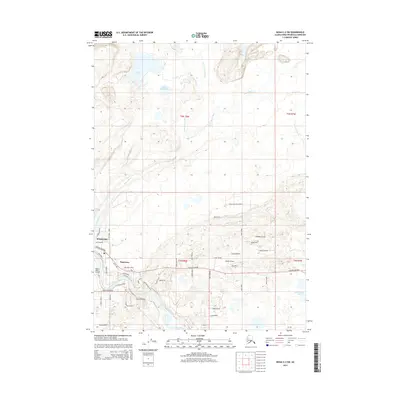
2014 Map of Kenai C-2 SW
USGS Topo · Published 2014About this map
Naptowne and the eastern edge of Sterling occupy a significant bend of the glacial Kenai River on this 2014 survey. The settlement pattern here is closely tied to the water, with neighborhoods like Kenai River Airpark and numerous residential streets branching off the Sterling Highway. The river's dynamic nature is highlighted by the Naptowne Rapids, while the surrounding terrain is a complex network of wetlands and lakes, including Grebe Lake, Beaver Pond Lake, and the remote Bottenintnin Lake.
Find a feature on this map
54 named features on this map. Tap any name to fly to it.
Don’t see what you’re looking for? This feature index may not catch every label — zoom into the map to look around manually.
Map Details
Editions of this 2014 Kenai C-2 SW Map
This is the sole edition of this map. No revisions or reprints were ever made.
Other maps of this area

1944 · Kenai
USGS Topo · 1:250,000

1950 · Kenai
USGS Topo · 1:250,000

1950 · Kenai C-3
USGS Topo · 1:63,360

1950 · Kenai B-3
USGS Topo · 1:63,360

1951 · Kenai B-2
USGS Topo · 1:63,360

1951 · Kenai C-2
USGS Topo · 1:63,360

1951 · Kenai C-3
USGS Topo · 1:63,360

1952 · Kenai C-2
USGS Topo · 1:63,360

1952 · Kenai B-3
USGS Topo · 1:63,360

1952 · Kenai B-2
USGS Topo · 1:63,360