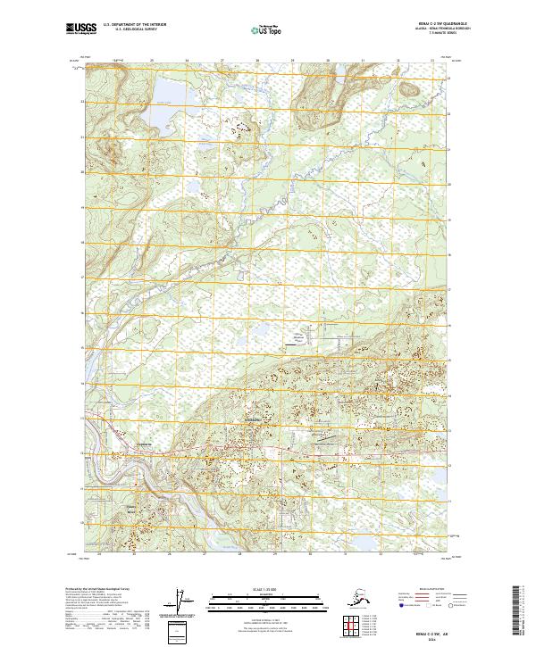
2024 Map of Kenai C-2 SW
USGS Topo · Published 2024About this map
The Kenai River winds through the heart of this landscape, creating a focal point for settlement and recreation near the communities of Sterling and Naptowne. The convergence of the Moose River and the main channel, along with the nearby Naptowne Rapids, illustrates the water-driven geography of the central Kenai Peninsula. To the north, the protected lands of the Kenai Wilderness (Dave Spencer Unit) and Kenai National Wildlife Refuge preserve a wild expanse of marshland and lakes, including Grebe Lake and Beaver Pond Lake. The Sterling Highway serves as the primary corridor for regional travel, branching into numerous local roads and residential lanes. This area is also notably served by several small airfields, such as the Moose Meadows Airport and Alaska Airpark, highlighting the importance of general aviation in accessing the Alaskan interior.
Find a feature on this map
67 named features on this map. Tap any name to fly to it.
Don’t see what you’re looking for? This feature index may not catch every label — zoom into the map to look around manually.
Map Details
Editions of this 2024 Kenai C-2 SW Map
This is the sole edition of this map. No revisions or reprints were ever made.
Other maps of this area

1944 · Kenai
USGS Topo · 1:250,000

1950 · Kenai
USGS Topo · 1:250,000

1950 · Kenai C-3
USGS Topo · 1:63,360

1950 · Kenai B-3
USGS Topo · 1:63,360

1951 · Kenai B-2
USGS Topo · 1:63,360

1951 · Kenai C-2
USGS Topo · 1:63,360

1951 · Kenai C-3
USGS Topo · 1:63,360

1952 · Kenai C-2
USGS Topo · 1:63,360

1952 · Kenai B-3
USGS Topo · 1:63,360

1952 · Kenai B-2
USGS Topo · 1:63,360