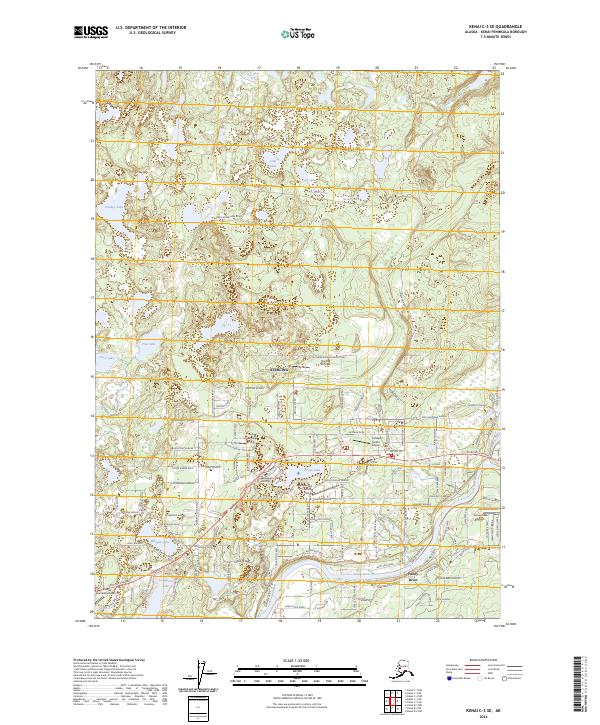
2024 Map of Kenai C-3 SE
USGS Topo · Published 2024About this map
Sterling serves as a central hub on the Kenai Peninsula where the Kenai River meets the Funny River, an area defined by its proximity to the Kenai National Wildlife Refuge. The landscape is densely packed with a network of private air strips and small airfields, such as the Sterling Air Park, Dutch Landing Strip, and Lakewood Airstrip, reflecting the importance of bush aviation in this part of Alaska.
Find a feature on this map
128 named features on this map. Tap any name to fly to it.
Don’t see what you’re looking for? This feature index may not catch every label — zoom into the map to look around manually.
Map Details
Editions of this 2024 Kenai C-3 SE Map
This is the sole edition of this map. No revisions or reprints were ever made.
Other maps of this area

1944 · Kenai
USGS Topo · 1:250,000

1950 · Kenai
USGS Topo · 1:250,000

1950 · Kenai C-3
USGS Topo · 1:63,360

1950 · Kenai B-3
USGS Topo · 1:63,360

1951 · Kenai B-2
USGS Topo · 1:63,360

1951 · Kenai C-2
USGS Topo · 1:63,360

1951 · Kenai C-3
USGS Topo · 1:63,360

1952 · Kenai C-2
USGS Topo · 1:63,360

1952 · Kenai B-3
USGS Topo · 1:63,360

1952 · Kenai B-2
USGS Topo · 1:63,360