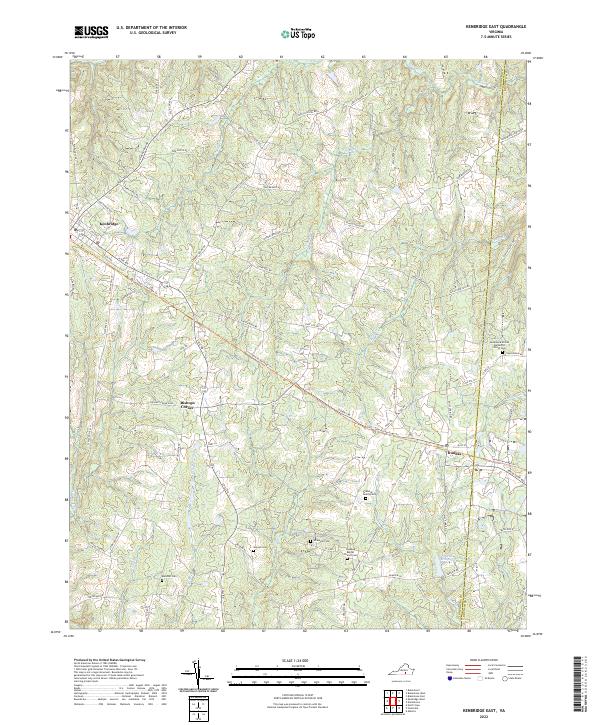
2022 Map of Kenbridge East
USGS Topo · Published 2022About this map
Kenbridge anchors the northwestern corner of this Lunenburg County landscape, where the local road network fans out into a rural terrain defined by old family estates and church grounds. The southeastern passage of the Tobacco Heritage Trl follows the historical rail corridor through the settlements of Bishops Corner and Dundas, reflecting the region’s long-standing connection to the leaf trade. Genealogists will find a concentration of burial sites including the Macedonia United Methodist Church Cem and the Moore Family Cem, alongside the Rosebud Baptist Church Cem near the boundary of Lunenburg and Brunswick counties. The drainage of Stony Cr and Crooked Cr feeds into the Dixon Millpond, a focal point of the area's historical water-powered industry.
Find a feature on this map
84 named features on this map. Tap any name to fly to it.
Don’t see what you’re looking for? This feature index may not catch every label — zoom into the map to look around manually.
Map Details
Editions of this 2022 Kenbridge East Map
This is the sole edition of this map. No revisions or reprints were ever made.
Other maps of this area

1891 · Farmville
USGS Topo · 1:125,000

1893 · Farmville
USGS Topo · 1:125,000

1897 · Amelia
USGS Topo · 1:125,000

1918 · Lawrenceville
USGS Topo · 1:62,500

1920 · Lawrenceville
USGS Topo · 1:48,000

1921 · Lawrenceville
USGS Topo · 1:62,500

1942 · Lawrenceville
USGS Topo · 1:62,500

1943 · Richmond
USGS Topo · 1:250,000

1947 · Roanoke
USGS Topo · 1:250,000

1949 · Richmond
USGS Topo · 1:250,000