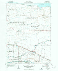
1951 Map of Kendall
USGS Topo · Published 1951About this map
The Erie Canal anchors the southern landscape of this mid-century Orleans County study, where the waterway passes through Hulberton and Hindsburg. This industrial corridor contrasts with the rural orchard and farm lands to the north, which are bounded by the Lake Ontario shoreline at Lomond Shore and Oak Orchard Beach. The settlement pattern follows a distinct grid, with the village of Kendall serving as a central hub, connected by the New York Central railroad. Local genealogy is well-represented through a dense network of numbered schoolhouses, such as School No 11 and School No 12, along with several historic burial grounds including Greenwood Cem and Hatch Cem. The drainage of the area is defined by the winding paths of Sandy Creek and Bald Eagle Creek, which move through the flat terrain toward the lake, illustrating the traditional relationship between the region's fertile plains and its natural water outlets.
Find a feature on this map
39 named features on this map. Tap any name to fly to it.
Don’t see what you’re looking for? This feature index may not catch every label — zoom into the map to look around manually.
Map Details
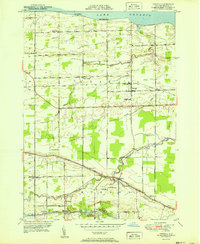
Editions of this 1951 Kendall Map
2 editions found
Other maps of this area

1897 · Albion
USGS Topo · 1:62,500

1897 · Oak Orchard
USGS Topo · 1:62,500

1899 · Hamlin
USGS Topo · 1:62,500

1899 · Brockport
USGS Topo · 1:62,500

1932 · Hamlin
USGS Topo · 1:24,000

1934 · Brockport
USGS Topo · 1:24,000

1935 · Hamlin
USGS Topo · 1:24,000

1944 · Holley
USGS Topo · 1:31,680

1944 · Albion
USGS Topo · 1:31,680

1949 · Kendall
USGS Topo · 1:62,500