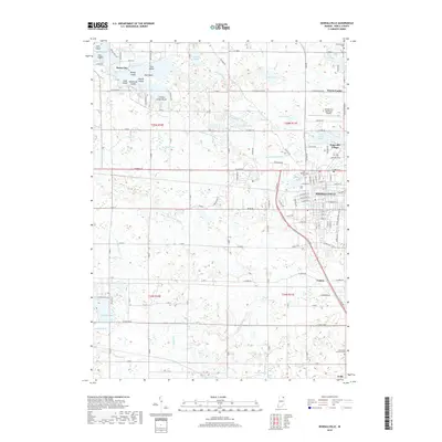
2019 Map of Kendallville
USGS Topo · Published 2019About this map
Kendallville serves as the primary hub of this Noble County landscape, surrounded by an intricate network of glacial lakes and drainage ditches. The urban center is flanked by significant local landmarks such as Bixler Lake Ditch and Henderson Lake, while the Kendallville Municipal Airport occupies the northeastern outskirts near Wayne Center. For those tracing local heritage, the map identifies several historic burial grounds, including the Old Kendallville Cem and Lake-View Cem.
Find a feature on this map
166 named features on this map. Tap any name to fly to it.
Don’t see what you’re looking for? This feature index may not catch every label — zoom into the map to look around manually.
Map Details
Editions of this 2019 Kendallville Map
This is the sole edition of this map. No revisions or reprints were ever made.
Other maps of this area

1942 · Stroh
USGS Topo · 1:24,000

1947 · Wolcottville
USGS Topo · 1:24,000

1947 · Oliver Lake
USGS Topo · 1:24,000

1951 · Merriam
USGS Topo · 1:24,000

1953 · Fort Wayne
USGS Topo · 1:250,000

1955 · Corunna
USGS Topo · 1:24,000

1955 · Ege
USGS Topo · 1:24,000

1955 · Kendallville
USGS Topo · 1:24,000

1956 · Fort Wayne
USGS Topo · 1:250,000

1956 · Albion
USGS Topo · 1:24,000