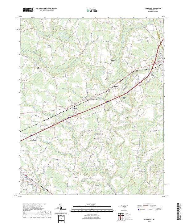
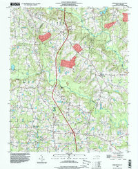
2022 Map of Kenly West
USGS Topo · Published 2022About this map
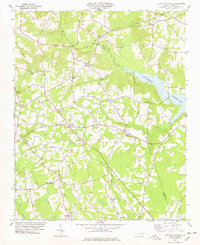
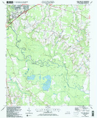
Micro and Pine Level anchor the southwestern corner of this Johnston County landscape, which is defined by a dense network of country roads and several small settlements. The topography is shaped by the winding course of the Little River, which snakes from the northwest corner past Bagley and Rains Crossroads. Local history is visible in landmarks like Lowell Mill and the Oak Grove Inn, while the inclusion of the Brown Cem and family-named routes such as Beulahtown Rd and Hales Rd offers valuable points of interest for genealogical research.
Find a feature on this map
123 named features on this map. Tap any name to fly to it.
Don’t see what you’re looking for? This feature index may not catch every label — zoom into the map to look around manually.
Map Details
Editions of this 2022 Kenly West Map
This is the sole edition of this map. No revisions or reprints were ever made.
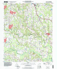
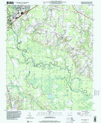
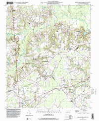
Historical Maps of Kenly Through Time
22 maps found
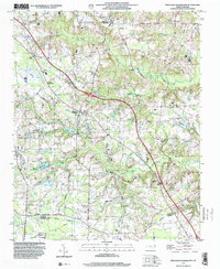
1964 Edmondson
Johnston County, NC
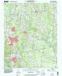
1964 Flowers
Johnston County, NC
1964 Powhatan
Johnston County, NC

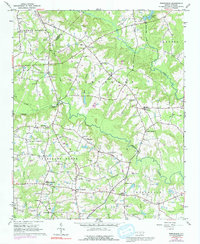
1978 Kenly West
Johnston County, NC
1978 Stancils Chapel
Johnston County, NC
1986 Four Oaks NE
Johnston County, NC
1986 Newton Grove North
Johnston County, NC
1986 Peacocks Crossroads
Johnston County, NC
1993 Edmondson
Johnston County, NC
1993 Powhatan
Johnston County, NC
1997 Four Oaks NE
Johnston County, NC
1997 Newton Grove North
Johnston County, NC
1997 Peacocks Crossroads
Johnston County, NC
1998 Flowers
Johnston County, NC
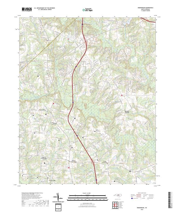
2022 Edmondson
Johnston County, NC
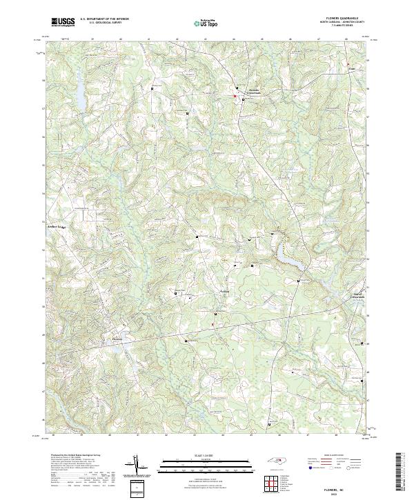
2022 Flowers
Johnston County, NC
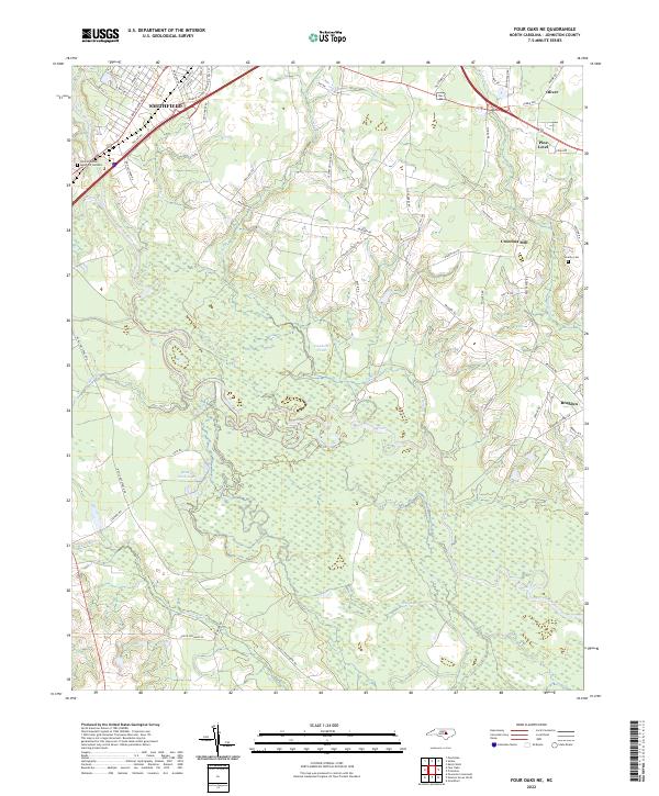
2022 Four Oaks NE
Johnston County, NC
2022 Kenly West
Johnston County, NC
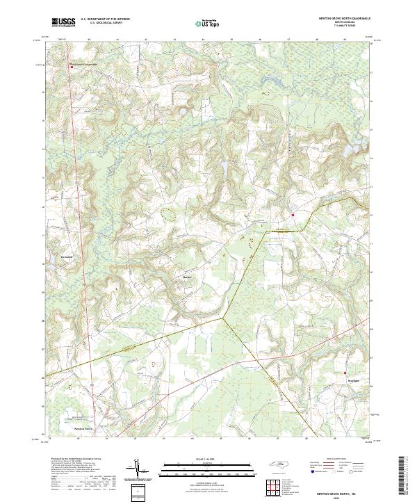
2022 Newton Grove North
Johnston County, NC
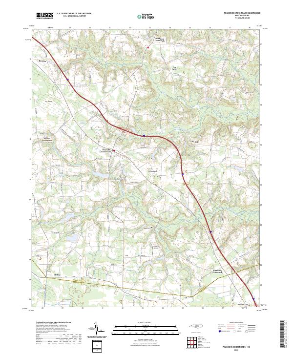
2022 Peacocks Crossroads
Johnston County, NC
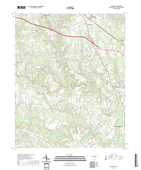
2022 Powhatan
Johnston County, NC
2022 Stancils Chapel
Johnston County, NC