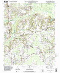
1997 Map of Newton Grove North
USGS Topo · Published 2000About this map
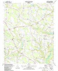
Bentonville Battleground (State Historic Site) stands as the focal point of this region, preserving the site of the largest Civil War battle fought in North Carolina. The landscape is defined by the convergence of Johnston, Sampson, and Wayne counties, where the rural character is maintained through a dense network of country churches such as Antioch Ch, Pauline Ch, and Westbrook Grove Ch. The terrain is drained by Mill Creek and Hannah Creek, with numerous small cemeteries scattered across the family farms that have long anchored this community.
Find a feature on this map
33 named features on this map. Tap any name to fly to it.
Don’t see what you’re looking for? This feature index may not catch every label — zoom into the map to look around manually.
Map Details
Editions of this 1997 Newton Grove North Map
This is the sole edition of this map. No revisions or reprints were ever made.
Other maps of this area

1906 · Four Oaks
USGS Topo · 1:48,000

1908 · Four Oaks
USGS Topo · 1:62,500

1909 · Coharie
USGS Topo · 1:62,500

1953 · Raleigh
USGS Topo · 1:250,000

1954 · Raleigh
USGS Topo · 1:250,000

1974 · Grantham
USGS Topo · 1:24,000
1974 · Princeton
USGS Topo · 1:24,000
1978 · Dobbersville
USGS Topo · 1:24,000
1986 · Peacocks Crossroads
USGS Topo · 1:24,000
1986 · Timothy
USGS Topo · 1:24,000