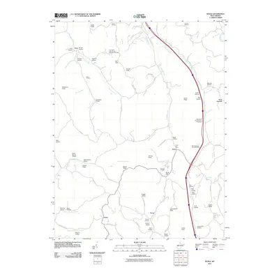
2011 Map of Kenna
USGS Topo · Published 2011About this map
Kenna Post Office stands at a central junction where local commerce and postal routes converged in this Jackson County landscape. The topography is defined by a dense network of ridges and hollows, including Angel Ridge, Poverty Ridge, and Schoolhouse Hollow, which dictate the winding paths of roads and historical property lines. Several family-named landmarks and infrastructure projects are visible, such as the Alice Parsons Farm Pond Dam and Marshall R Parsons Farm Pond Dam, reflecting a history of private land management and water control. Smaller communities and rural hubs like Emma and Plum Orchard are connected by namesake watercourses including Parchment Creek and Grasslick Creek. For those researching local families, the presence of the Webster Cemetery, Wolfe Cemetery, and Shamblen Cemetery provides specific geographic anchors for genealogical study.
Find a feature on this map
100 named features on this map. Tap any name to fly to it.
Don’t see what you’re looking for? This feature index may not catch every label — zoom into the map to look around manually.
Map Details
Editions of this 2011 Kenna Map
This is the sole edition of this map. No revisions or reprints were ever made.
Other maps of this area

1906 · Kenna
USGS Topo · 1:62,500

1906 · Winfield
USGS Topo · 1:62,500

1907 · Kenna
USGS Topo · 1:62,500

1907 · Ripley
USGS Topo · 1:62,500

1908 · Winfield
USGS Topo · 1:62,500

1908 · Ravenswood
USGS Topo · 1:62,500

1926 · Ravenswood
USGS Topo · 1:62,500

1926 · Ripley
USGS Topo · 1:62,500

1928 · Ravenswood
USGS Topo · 1:62,500

1928 · Ripley
USGS Topo · 1:62,500