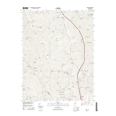
2014 Map of Kenna
USGS Topo · Published 2014About this map
Kenna and the surrounding Jackson County countryside are defined by a complex network of ridges and hollows, where small settlements and family cemeteries are tucked away along winding watercourses. This landscape is a patchwork of rural life, featuring the Kenna Po and several local congregations such as Ephesus Baptist Church Cem and Goodwill Church Cem. The terrain is marked by prominent landmarks like Divide Hill and Bibbee Ridge, which separate the various drainage basins of Pocatalico Cr and Eighteenmile Cr. Numerous small burial grounds, including the Big Pine Cem and Twin Pines Cem, provide a detailed genealogical record of the families who settled this portion of West Virginia. In the northeast, the F.F. Morris Memorial Bridge crosses Big Fork near the settlement of Statts Mills, reflecting the importance of river crossings in this deeply dissected topography.
Find a feature on this map
154 named features on this map. Tap any name to fly to it.
Don’t see what you’re looking for? This feature index may not catch every label — zoom into the map to look around manually.
Map Details
Editions of this 2014 Kenna Map
This is the sole edition of this map. No revisions or reprints were ever made.
Other maps of this area

1906 · Kenna
USGS Topo · 1:62,500

1906 · Winfield
USGS Topo · 1:62,500

1907 · Kenna
USGS Topo · 1:62,500

1907 · Ripley
USGS Topo · 1:62,500

1908 · Winfield
USGS Topo · 1:62,500

1908 · Ravenswood
USGS Topo · 1:62,500

1926 · Ravenswood
USGS Topo · 1:62,500

1926 · Ripley
USGS Topo · 1:62,500

1928 · Ravenswood
USGS Topo · 1:62,500

1928 · Ripley
USGS Topo · 1:62,500