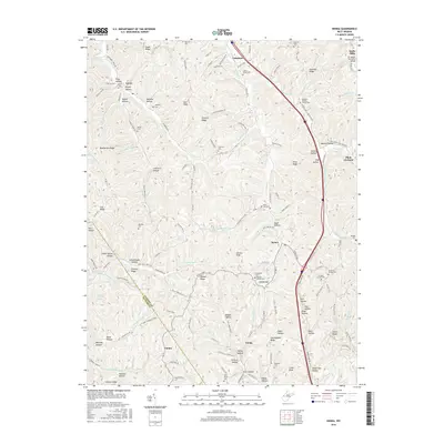
2016 Map of Kenna
USGS Topo · Published 2016About this map
Kenna and Fairplain serve as central points in this landscape of ridges and deeply carved hollows within Jackson County and Putnam County. The terrain is defined by a dense network of family-named landmarks and rural burial grounds, including Given Cem, Harpold Cem, and the Ephesus Baptist Church Cem. Near the northern border, Stats Mills sits adjacent to the F.F. Morris Memorial Bridge, while the southern reaches feature the small settlement of Emma.
Find a feature on this map
148 named features on this map. Tap any name to fly to it.
Don’t see what you’re looking for? This feature index may not catch every label — zoom into the map to look around manually.
Map Details
Editions of this 2016 Kenna Map
This is the sole edition of this map. No revisions or reprints were ever made.
Other maps of this area

1906 · Kenna
USGS Topo · 1:62,500

1906 · Winfield
USGS Topo · 1:62,500

1907 · Kenna
USGS Topo · 1:62,500

1907 · Ripley
USGS Topo · 1:62,500

1908 · Winfield
USGS Topo · 1:62,500

1908 · Ravenswood
USGS Topo · 1:62,500

1926 · Ravenswood
USGS Topo · 1:62,500

1926 · Ripley
USGS Topo · 1:62,500

1928 · Ravenswood
USGS Topo · 1:62,500

1928 · Ripley
USGS Topo · 1:62,500