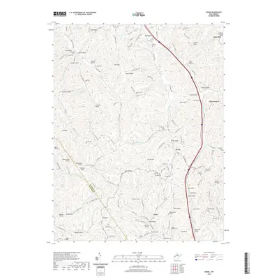
2019 Map of Kenna
USGS Topo · Published 2019About this map
The town of Kenna sits within a complex network of ridges and hollows in Jackson County, where Interstate 77 now cuts a modern path through the landscape. This 2019 survey illustrates how contemporary infrastructure aligns with long-established rural settlements like Given, Fairplain, and Statts Mills. The terrain is characterized by prominent elevations such as Bibbee Ridge, Southall Ridge, and Garnes Knob, which dictate the drainage patterns of local waterways like Parchment Cr and Grasslick Run.
Find a feature on this map
144 named features on this map. Tap any name to fly to it.
Don’t see what you’re looking for? This feature index may not catch every label — zoom into the map to look around manually.
Map Details
Editions of this 2019 Kenna Map
This is the sole edition of this map. No revisions or reprints were ever made.
Other maps of this area

1906 · Kenna
USGS Topo · 1:62,500

1906 · Winfield
USGS Topo · 1:62,500

1907 · Kenna
USGS Topo · 1:62,500

1907 · Ripley
USGS Topo · 1:62,500

1908 · Winfield
USGS Topo · 1:62,500

1908 · Ravenswood
USGS Topo · 1:62,500

1926 · Ravenswood
USGS Topo · 1:62,500

1926 · Ripley
USGS Topo · 1:62,500

1928 · Ravenswood
USGS Topo · 1:62,500

1928 · Ripley
USGS Topo · 1:62,500