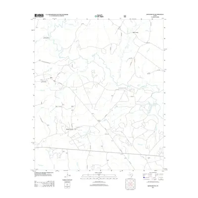
2013 Map of Kennard NE
USGS Topo · Published 2013About this map
Sweet Union, Plain, and Mount Vernon anchor this East Texas landscape, where the Neches River winds through a dense network of creek drainages. The map reveals a high concentration of burial sites essential for genealogical research, including the McKinney and Wells Family Cem, Shooks Bluff Cem, and Pisgah Cem. These landmarks suggest a long-established rural community pattern where family and church-affiliated grounds remain the primary physical markers of the 19th and 20th-century settlement.
Find a feature on this map
50 named features on this map. Tap any name to fly to it.
Don’t see what you’re looking for? This feature index may not catch every label — zoom into the map to look around manually.
Map Details
Editions of this 2013 Kennard NE Map
This is the sole edition of this map. No revisions or reprints were ever made.
Other maps of this area

1946 · Alto
USGS Topo · 1:62,500

1950 · Kennard NE
USGS Topo · 1:24,000

1950 · Ratcliff
USGS Topo · 1:24,000

1950 · Centralia
USGS Topo · 1:24,000

1951 · Kennard
USGS Topo · 1:24,000

1951 · Wells
USGS Topo · 1:24,000

1951 · Wells SW
USGS Topo · 1:24,000

1951 · Centralia
USGS Topo · 1:24,000

1951 · Kennard NE
USGS Topo · 1:24,000

1951 · Ratcliff
USGS Topo · 1:24,000