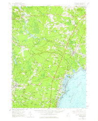
1956 Map of Kennebunk
USGS Topo · Published 1964About this map
Maine Turnpike bisects the landscape of coastal York County in the mid-1950s, creating a high-speed corridor through a region still defined by its traditional mill towns and tidal estuaries. Inland, the Mousam River powers a series of historic industrial sites, including Alfred Mills and Spang Mills, while the Boston and Maine Railroad services the coastal settlements. The map illustrates the transition from a river-and-rail economy to a modern automotive era, particularly around Kennebunk and the burgeoning beach communities.
Find a feature on this map
149 named features on this map. Tap any name to fly to it.
Don’t see what you’re looking for? This feature index may not catch every label — zoom into the map to look around manually.
Map Details
Editions of this 1956 Kennebunk Map
4 editions found
Other maps of this area

1891 · Portland
USGS Topo · 1:62,500

1891 · Biddeford
USGS Topo · 1:62,500

1891 · Berwick
USGS Topo · 1:62,500

1891 · Kennebunk
USGS Topo · 1:62,500

1891 · Buxton
USGS Topo · 1:62,500

1891 · Newfield
USGS Topo · 1:62,500

1892 · Buxton
USGS Topo · 1:62,500

1893 · Kennebunk
USGS Topo · 1:62,500

1893 · Dover
USGS Topo · 1:62,500

1893 · Berwick
USGS Topo · 1:62,500