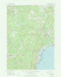
1956 Map of Kennebunk
USGS Topo · Published 1972About this map
Alfred and Sanford anchor this coastal Maine survey, revealing the established inland villages and bustling shoreline communities before the intensive development of later decades. The landscape is defined by the Mousam River and Kennebunk River, which supported early industries at sites like Alfred Mills and Bartlett Mills. Along the Atlantic, the summer-resort character of the mid-1950s is evident in the layout of Kennebunk Beach, Moody Beach, and Wells Beach.
Find a feature on this map
125 named features on this map. Tap any name to fly to it.
Don’t see what you’re looking for? This feature index may not catch every label — zoom into the map to look around manually.
Map Details
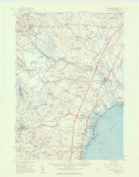
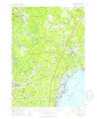
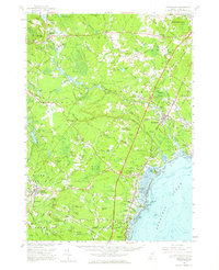
Editions of this 1956 Kennebunk Map
4 editions found
Other maps of this area

1891 · Portland
USGS Topo · 1:62,500

1891 · Biddeford
USGS Topo · 1:62,500

1891 · Berwick
USGS Topo · 1:62,500

1891 · Kennebunk
USGS Topo · 1:62,500

1891 · Buxton
USGS Topo · 1:62,500

1891 · Newfield
USGS Topo · 1:62,500

1892 · Buxton
USGS Topo · 1:62,500

1893 · Kennebunk
USGS Topo · 1:62,500

1893 · Dover
USGS Topo · 1:62,500

1893 · Berwick
USGS Topo · 1:62,500