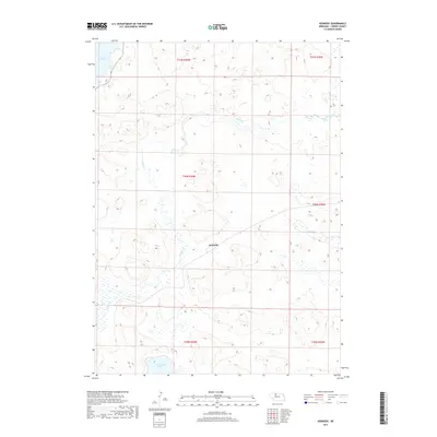
2017 Map of Kennedy
USGS Topo · Published 2017About this map
Kennedy is situated within the expansive Sandhills of Cherry County, Nebraska, where the landscape is defined by its characteristic hydrology and sparse settlement patterns. This area is anchored by the presence of Merritt Reservoir in the northwest, a significant water body created by damming the Gordon Cr, which snakes through the central and southern portions of the terrain. The map illustrates a region where life centers on water and livestock ranching, with Lone Tree Lake providing another vital landmark in the southern reaches. The intricate network of wetlands and seasonal ponds shown throughout the townships, including t30n r30w and t29n r30w, reveals the complex ecosystem of the Nebraska backcountry in the early 21st century.
Find a feature on this map
10 named features on this map. Tap any name to fly to it.
Don’t see what you’re looking for? This feature index may not catch every label — zoom into the map to look around manually.
Map Details
Editions of this 2017 Kennedy Map
This is the sole edition of this map. No revisions or reprints were ever made.
Other maps of this area

1950 · Simeon
USGS Topo · 1:62,500

1950 · Kennedy
USGS Topo · 1:62,500

1951 · Bull Lake
USGS Topo · 1:62,500

1951 · Brownlee
USGS Topo · 1:62,500

1957 · Valentine
USGS Topo · 1:250,000

1959 · Valentine
USGS Topo · 1:250,000

1985 · Goose Creek
USGS Topo · 1:100,000
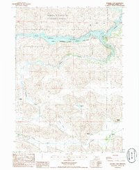
1985 · Windmill Lake
USGS Topo · 1:24,000

1985 · Valentine
USGS Topo · 1:100,000
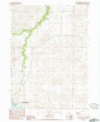
1985 · Snake River Falls
USGS Topo · 1:24,000