
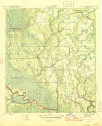
1945 Map of Kennedy Creek
USGS Topo · Published 1945About this map
Apalachicola National Forest dominates this mid-1940s survey of the Florida panhandle, revealing a landscape defined by the intricate hydrology of the Apalachicola River and Chipola River systems. This region, where Liberty, Gulf, and Franklin counties converge, shows a deep reliance on the river as a primary artery for movement and commerce. Small river-based outposts such as White Oak Landing, Cotton Landing, and Owl Landing highlight the importance of water access in an era before extensive road development.
Find a feature on this map
35 named features on this map. Tap any name to fly to it.
Don’t see what you’re looking for? This feature index may not catch every label — zoom into the map to look around manually.
Map Details
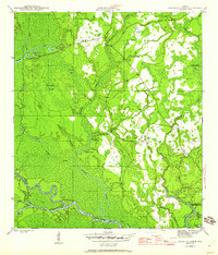
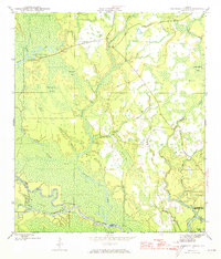
Editions of this 1945 Kennedy Creek Map
4 editions found
Other maps of this area

1944 · White City
USGS Topo · 1:24,000

1944 · Forbes Island
USGS Topo · 1:24,000

1945 · Dead Lake
USGS Topo · 1:31,680

1945 · Forbes Island
USGS Topo · 1:31,680

1945 · White City
USGS Topo · 1:31,680

1945 · Orange
USGS Topo · 1:31,680

1945 · Wewahitchka
USGS Topo · 1:31,680

1945 · Fort Gadsden
USGS Topo · 1:31,680

1946 · Sumatra
USGS Topo · 1:31,680
1946 · Wilma
USGS Topo · 1:31,680