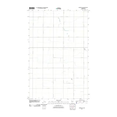
2010 Map of Kennedy SE
USGS Topo · Published 2010About this map
The flat agricultural lands of Kittson County are meticulously recorded here, revealing a landscape defined by a rigid section-line road network. This 2010 survey illustrates the organized rural infrastructure of northwestern Minnesota, where township roads like Twp Hwy T-52 and Twp Hwy T-213 create a precise grid for farming operations. The area’s spiritual and social history is anchored by Saint Petri Cemetery and Spring Brook Cemetery, which serve as permanent records of the region's early settlers and family lineages. The only significant break in the geometric terrain is Andreason Lake, providing a natural landmark in a territory otherwise dominated by highways like Csah 18 and County Hwy-61. This map is a clear record of the intersection between human engineering and the prairie landscape.
Find a feature on this map
26 named features on this map. Tap any name to fly to it.
Don’t see what you’re looking for? This feature index may not catch every label — zoom into the map to look around manually.
Map Details
Editions of this 2010 Kennedy SE Map
This is the sole edition of this map. No revisions or reprints were ever made.
Other maps of this area

1918 · Argyle
USGS Topo · 1:62,500

1939 · Kennedy
USGS Topo · 1:62,500

1941 · Kennedy
USGS Topo · 1:62,500

1952 · Thief River Falls
USGS Topo · 1:250,000

1954 · Stephen
USGS Topo · 1:62,500

1956 · Thief River Falls
USGS Topo · 1:250,000

1956 · Karlstad
USGS Topo · 1:62,500

1956 · Florian
USGS Topo · 1:62,500

1957 · Thief River Falls
USGS Topo · 1:250,000

1967 · Thief River Falls
USGS Topo · 1:250,000