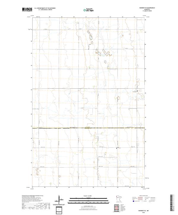
2022 Map of Kennedy SE
USGS Topo · Published 2022About this map
The agricultural plains of the Red River Valley define this landscape, where the boundary between Kittson Co and Marshall Co runs along Co St Aid Hwy 18. This 2022 survey documents a highly organized township-and-range system, with a network of rural roads like Co Rd 61 and Co Rd 5 facilitating movement through the fertile Red River North region. Notable for genealogists are the rural burial grounds that anchor the local heritage, specifically Spring Brook Cem and Saint Petri Cem. The terrain is predominantly level, punctuated by isolated water bodies such as Andreason Lake, reflecting the post-glacial geography of far northwestern Minnesota. The infrastructure is characterized by long, straight sections of roadway such as 450th St NW and 300th Ave, serving the dispersed homesteads and farms that have occupied this region since its settlement.
Find a feature on this map
27 named features on this map. Tap any name to fly to it.
Don’t see what you’re looking for? This feature index may not catch every label — zoom into the map to look around manually.
Map Details
Editions of this 2022 Kennedy SE Map
This is the sole edition of this map. No revisions or reprints were ever made.
Other maps of this area

1918 · Argyle
USGS Topo · 1:62,500

1939 · Kennedy
USGS Topo · 1:62,500

1941 · Kennedy
USGS Topo · 1:62,500

1952 · Thief River Falls
USGS Topo · 1:250,000

1954 · Stephen
USGS Topo · 1:62,500

1956 · Thief River Falls
USGS Topo · 1:250,000

1956 · Karlstad
USGS Topo · 1:62,500

1956 · Florian
USGS Topo · 1:62,500

1957 · Thief River Falls
USGS Topo · 1:250,000

1967 · Thief River Falls
USGS Topo · 1:250,000