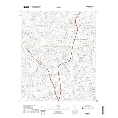
2020 Map of Kennesaw
USGS Topo · Published 2020About this map
Kennesaw and the northern reaches of Marietta anchor this 2020 map, documenting a landscape defined by rapid suburban expansion and the preservation of small family cemeteries. The terrain is marked by the winding course of Noonday Cr and the prominent Boston Ridge in the northeast. This era shows the developed footprint of Kennesaw State University and the aviation activity at Cobb County International Airport-McCollum Field.
Find a feature on this map
54 named features on this map. Tap any name to fly to it.
Don’t see what you’re looking for? This feature index may not catch every label — zoom into the map to look around manually.
Map Details
Editions of this 2020 Kennesaw Map
This is the sole edition of this map. No revisions or reprints were ever made.
Other maps of this area

1888 · Atlanta
USGS Topo · 1:125,000

1890 · Suwanee
USGS Topo · 1:125,000

1890 · Cartersville
USGS Topo · 1:125,000

1890 · Atlanta
USGS Topo · 1:125,000

1891 · Marietta
USGS Topo · 1:125,000

1891 · Cartersville
USGS Topo · 1:125,000

1892 · Atlanta
USGS Topo · 1:125,000

1894 · Suwanee
USGS Topo · 1:125,000

1895 · Atlanta
USGS Topo · 1:125,000

1895 · Marietta
USGS Topo · 1:125,000