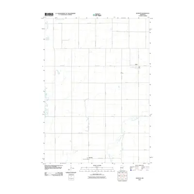
2010 Map of Kenneth
USGS Topo · Published 2010About this map
Leota and Kenneth anchor this corner of Pipestone County, Minnesota, where the prairie grid meets a network of slow-moving waterways. The landscape is defined by the headwaters and meandering courses of Chanarambie Creek in the north and Champepadan Creek further south. These drainages provide a natural contrast to the rigid geometry of the local road system, including routes like County Hwy-1 and County Line Ave.
Find a feature on this map
36 named features on this map. Tap any name to fly to it.
Don’t see what you’re looking for? This feature index may not catch every label — zoom into the map to look around manually.
Map Details
Editions of this 2010 Kenneth Map
This is the sole edition of this map. No revisions or reprints were ever made.
Other maps of this area

1954 · Fairmont
USGS Topo · 1:250,000

1955 · Sioux Falls
USGS Topo · 1:250,000

1958 · Sioux Falls
USGS Topo · 1:250,000

1958 · Fairmont
USGS Topo · 1:250,000

1967 · Edgerton South
USGS Topo · 1:24,000

1967 · Slayton SW
USGS Topo · 1:24,000

1967 · Magnolia
USGS Topo · 1:24,000

1967 · Edgerton North
USGS Topo · 1:24,000

1967 · Edgerton NE
USGS Topo · 1:24,000

1967 · Kenneth
USGS Topo · 1:24,000